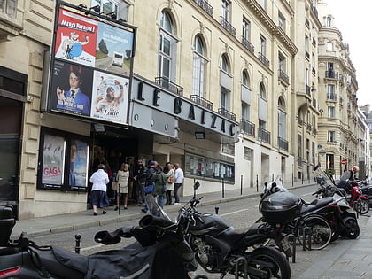
Le Gerny's, Paris
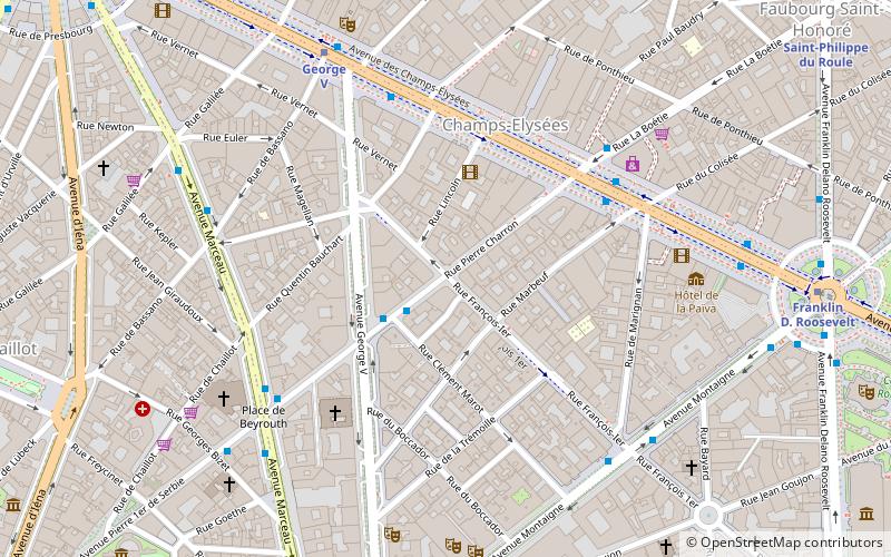
Map
Facts and practical information
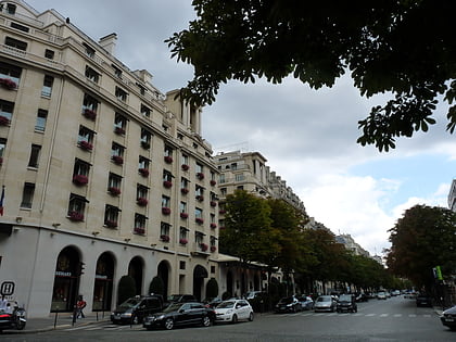
Le Gerny's is the name of a former Parisian nightclub located at 54 rue Pierre-Charron, at the intersection with the rue François-Ier, in the quartier des Champs-Élysées of the 8th arrondissement of Paris. ()
Address
Élysée (Champs-Élysées)Paris
ContactAdd
Social media
Add
Day trips
Le Gerny's – popular in the area (distance from the attraction)
Nearby attractions include: Champs-Élysées, Musée d'Art Moderne de la Ville de Paris, Avenue Montaigne, Avenue George V.
Frequently Asked Questions (FAQ)
Which popular attractions are close to Le Gerny's?
Nearby attractions include Rue Pierre Charron, Paris (3 min walk), Théâtre Fémina, Paris (4 min walk), American Cathedral in Paris, Paris (4 min walk), Saint-Pierre-de-Chaillot, Paris (6 min walk).
How to get to Le Gerny's by public transport?
The nearest stations to Le Gerny's:
Bus
Metro
Train
Ferry
Bus
- Pierre Charron - François 1er • Lines: 32 (2 min walk)
- La Boétie - Champs-Élysées • Lines: 32, 73, N11, N24 (5 min walk)
Metro
- George V • Lines: 1 (6 min walk)
- Franklin D. Roosevelt • Lines: 1, 9 (7 min walk)
Train
- Charles de Gaulle-Étoile (13 min walk)
- Charles de Gaulle — Étoile (13 min walk)
Ferry
- Port des Champs-Elysées • Lines: Batobus (18 min walk)
- Tour-Eiffel • Lines: Batobus (20 min walk)
 Metro
Metro