Tumulus avec dolmen du Mané-Nélud, Locmariaquer
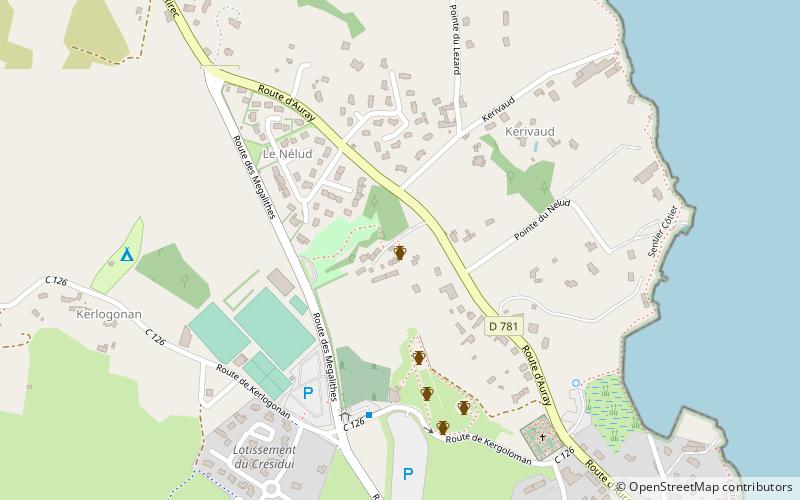
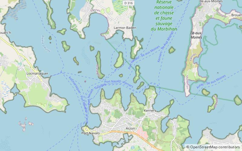
Map

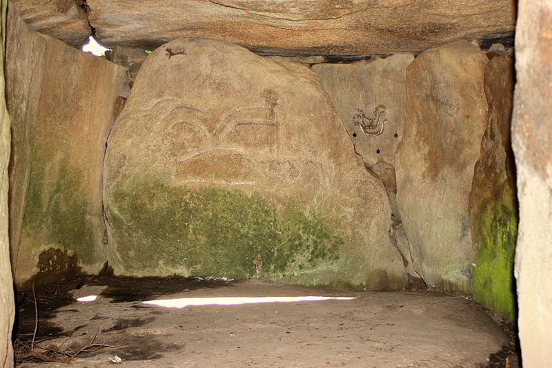
Gallery

Facts and practical information
The Mané-Lud tumulus is a megalith dating from the Neolithic period, located in the commune of Locmariaquer, in the Gulf of Morbihan.
Address
Locmariaquer
ContactAdd
Social media
Add
Day trips
Tumulus avec dolmen du Mané-Nélud – popular in the area (distance from the attraction)
Nearby attractions include: Locmariaquer megaliths, Port du Crouesty, Le P'tit Délire, Carnac stones.
Frequently Asked Questions (FAQ)
Which popular attractions are close to Tumulus avec dolmen du Mané-Nélud?
Nearby attractions include Locmariaquer megaliths, Locmariaquer (3 min walk), Notre-Dame-de-Kerdro, Locmariaquer (12 min walk), Church of Our Lady, Locmariaquer (12 min walk).


