Fort Liédot, Île-d'Aix

Gallery (5)
Map

Map

Gallery
Facts and practical information
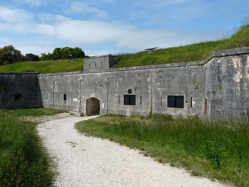
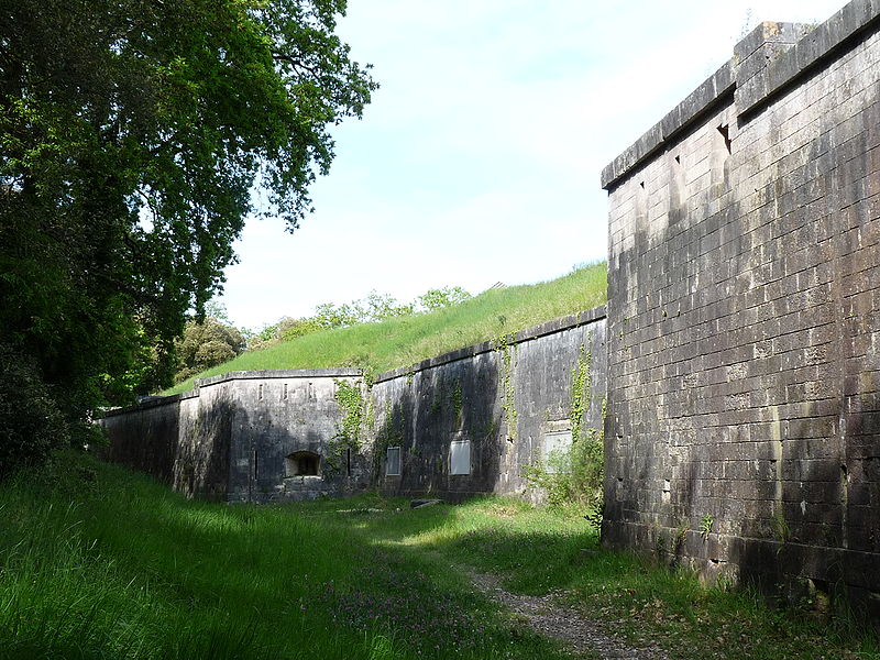
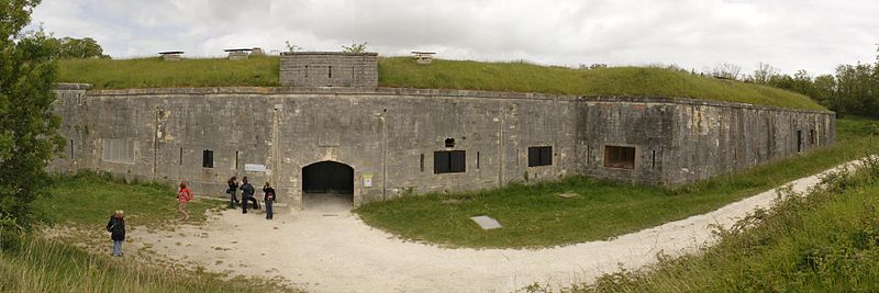
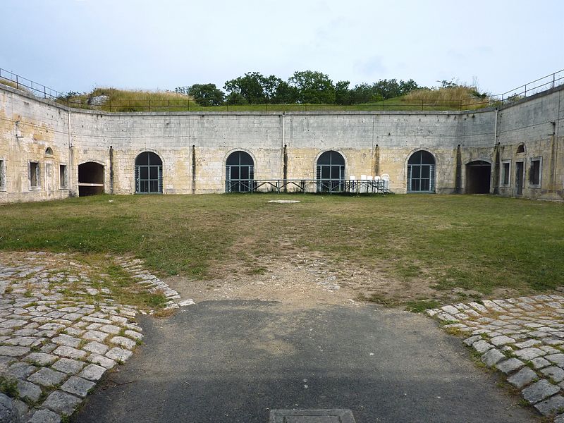
Fort Liédot, originally called Fort de la Sommité because it was built on the highest point of the island, is a fortification located on the north-eastern part of the island of Aix in the Charente-Maritime department. Initially for defensive purposes at the request of Napoleon I, it has fulfilled in turn many other functions: place of detention, target of shooting experiments, then vacation camp of the Army. A popular destination for hikers and cyclists, it is now open to guided tours.
Coordinates: 46°1'21"N, 1°9'52"W
Address
Île-d'Aix
ContactAdd
Social media
Add
Day trips


