Saint-Germain-des-Prés, Paris
Map
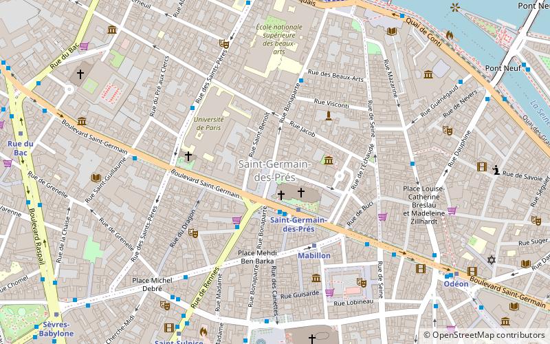
Map

Facts and practical information
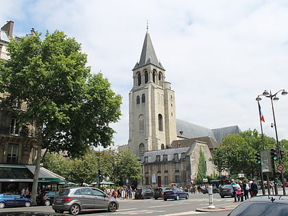
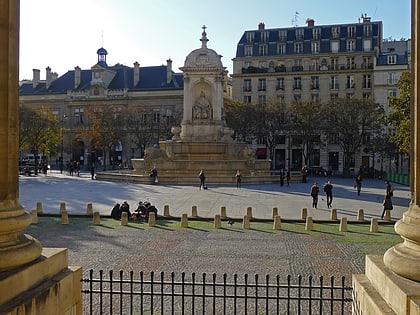
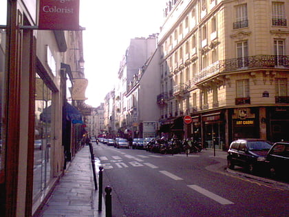
Saint-Germain-des-Prés is one of the four administrative quarters of the 6th arrondissement of Paris, France, located around the church of the former Abbey of Saint-Germain-des-Prés. Its official borders are the River Seine on the north, the rue des Saints-Pères on the west, between the rue de Seine and rue Mazarine on the east, and the rue du Four on the south. Residents of the quarter are known as Germanopratins. ()
Local name: Quartier Saint-Germain-des-Prés Area: 69.68 acres (0.1089 mi²)Coordinates: 48°51'16"N, 2°20'1"E
Address
Luxembourg (Saint Germain Des Prés)Paris
ContactAdd
Social media
Add
Day trips
Saint-Germain-des-Prés – popular in the area (distance from the attraction)
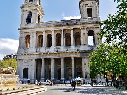
Nearby attractions include: Church of Saint-Sulpice, Abbey of Saint-Germain-des-Prés, Monnaie de Paris, Musée national Eugène Delacroix.
Frequently Asked Questions (FAQ)
Which popular attractions are close to Saint-Germain-des-Prés?
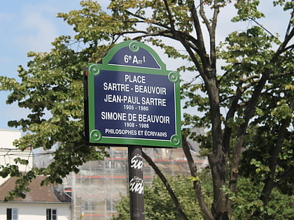
Nearby attractions include Abbey of Saint-Germain-des-Prés, Paris (1 min walk), Place Jean-Paul-Sartre-et-Simone-de-Beauvoir, Paris (2 min walk), Musée national Eugène Delacroix, Paris (2 min walk), Rue Bonaparte, Paris (3 min walk).
How to get to Saint-Germain-des-Prés by public transport?
The nearest stations to Saint-Germain-des-Prés:
Bus
Metro
Ferry
Train
Bus
- Saint-Germain-des-Prés • Lines: 39, 63, 86, 87, 95, N01, N02, N12, N13, Verte (2 min walk)
- Bonaparte - Saint-Germain • Lines: 70, 96, N12, N13 (4 min walk)
Metro
- Saint-Germain-des-Prés • Lines: 4 (2 min walk)
- Mabillon • Lines: 10 (4 min walk)
Ferry
- Louvre • Lines: Batobus (11 min walk)
- Musée d'Orsay • Lines: Batobus (15 min walk)
Train
- Musée d'Orsay (14 min walk)
- Saint-Michel Notre-Dame (15 min walk)

 Metro
Metro