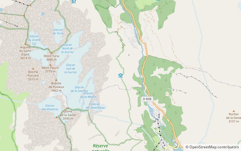
Refuge de La Martin
#2917 among destinations in France
Facts and practical information
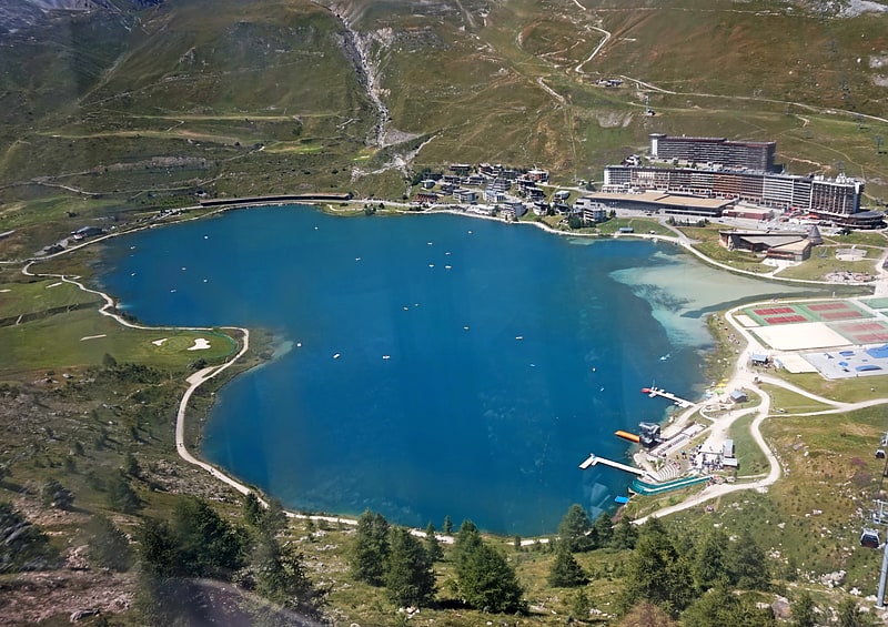
Refuge de La Martin is a refuge in the Alps, near Tignes and Val d'Isère mountain-ski resorts. ()
Auvergne-Rhône-AlpesFrance
Refuge de La Martin – popular in the area (distance from the attraction)
Nearby attractions include: Tignes-les-Brévières, Lac de Tignes, Mont Pourri, Mont Turia.
1.9 miSEWinter sport, Ski areaTignes-les-Brévières
48 min walk • Nestled in the heart of the French Alps, Tignes-les-Brévières is a captivating ski area that promises an unforgettable alpine experience. This picturesque village, part of the larger Tignes ski resort, offers a blend of traditional charm and modern skiing facilities.
4 miSNature, Natural attraction, LakeLac de Tignes, Tignes
103 min walk • Lac de Tignes is a lake at Tignes in the Savoie department of France.
2 miWNature, Natural attraction, MountainMont Pourri
50 min walk • Mont Pourri is a mountain in the Vanoise Massif in the Graian Alps. It is located in the Vanoise National Park, nearby Les Arcs ski resort.
2 miWNature, Natural attraction, MountainMont Turia
52 min walk • Mont Turia is a shoulder on the north ridge of Mont Pourri in Savoie, France. It lies in the Massif de la Vanoise range. It has an elevation of 3,646 metres above sea level.
3.5 miNWScenic mountain for hiking and skiingAiguille Rouge, Les Arcs
89 min walk • Aiguille Rouge is a mountain of Savoie, France. It lies in the Vanoise Massif and has an elevation of 3,227 metres above sea level. It is the highest point within the ski area of Les Arcs and is a fairly easy hike from the village below. It can also be accessed by a cable-car which almost reaches the summit area.
1.7 miSWNature, Natural attraction, MountainDôme de la Sache
44 min walk • Dôme de la Sache is a mountain of Savoie, France. It lies in the Massif de la Vanoise range. It has an elevation of 3,601 metres above sea level.
4.8 miNAreaVillaroger, Sainte-Foy-Tarentaise
123 min walk • Villaroger is a commune in the Savoie department in the Auvergne-Rhône-Alpes region in south-eastern France. It is situated in the upper Tarentaise Valley, between Bourg-Saint-Maurice and Tignes.
6.1 miNE 2.1 miSWNature, Natural attraction, MountainDôme des Platières
53 min walk • Dôme des Platières is a mountain of Savoie, France. It lies in the Massif de la Vanoise range. It has an elevation of 3,473 metres above sea level.
4.9 miSAlpine hut, HikingRefuge du Col du Palet
125 min walk • Refuge du Col du Palet is a refuge of Savoie, France. It lies in the Massif de la Vanoise range.
4.6 miWAlpine hut, HikingRefuge de Rosuel
118 min walk • Refuge de Rosuel is a refuge of Savoie, France. It lies in the Massif de la Vanoise range. It has an altitude of 1556 metres above sea level.