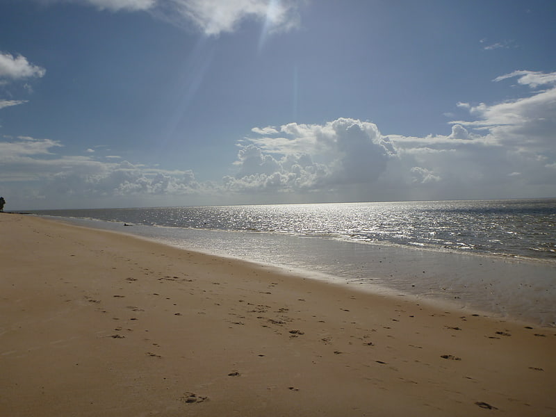
Le Four à Chaux, Paimpol
Gallery (1)
Map
Map
Facts and practical information
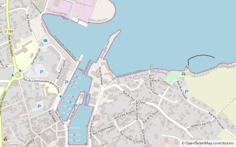
Le Four à Chaux (address: 1, rue du Four à Chaux) is a place located in Paimpol (Brittany region) and belongs to the category of beach.
It is situated at an altitude of 13 feet, and its geographical coordinates are 48°46'58"N latitude and 3°2'27"W longitude.
Among other places and attractions worth visiting in the area are: Ploubazlanec (locality, 36 min walk), Plourivo (locality, 76 min walk), Lézardrieux (locality, 78 min walk).
Coordinates: 48°46'58"N, 3°2'27"W
Day trips


