Church of Our Lady, Troyes

Gallery (1)
Map
Map
Facts and practical information
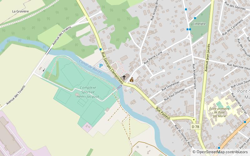
The Church of the Assumption of the Virgin is a church located in Pont-Sainte-Marie, France.
Coordinates: 48°19'5"N, 4°5'34"E
Address
Troyes
ContactAdd
Social media
Add
Getting there by public transportation
Public transportation stops near this location
- Bus
 Bus
Bus
- Calculate routeLanglois 1 min walk
- Calculate routeClemenceau 4 min walk
- Calculate routeFrance 8 min walk
- Calculate routePont Hubert 10 min walk
Day trips


Frequently Asked Questions (FAQ)
How to get to Church of Our Lady by public transport?
The nearest stations to Church of Our Lady:
Bus
Bus
- Langlois • Lines: 12 (1 min walk)
- Clemenceau • Lines: 12 (4 min walk)