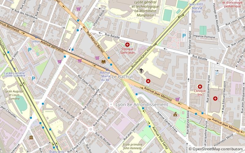
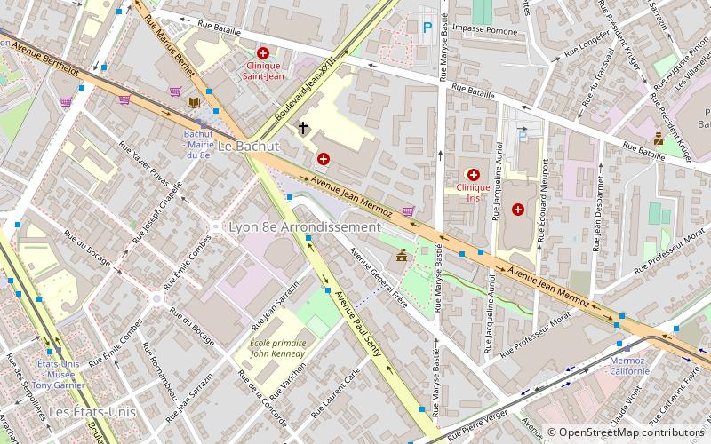
Le Bachut, Lyon
Map
Facts and practical information
Le Bachut is a quarter in the 8th arrondissement of Lyon. ()
Address
Arrondissement 8E (La Buire Bataille)Lyon
ContactAdd
Social media
Add
Getting there by public transportation
Public transportation stops near this location
- Metro
- Bus
- Trolleybus
- Tram
 Metro
Metro
- Calculate routeBachut - Mairie du 8e 1 min walk
- Calculate routeVarichon 5 min walk
- Calculate routeCazeneuve - Berthelot 6 min walk
- Calculate routeCazeneuve - Berliet 7 min walk
- Calculate routeBachut - Mairie du 8e 2 min walk
- Calculate routeVillon 9 min walk
- Calculate routeÉtats-Unis - Musée Tony Garnier 9 min walk
- Calculate routeJean XXIII - Maryse Bastié 10 min walk
- Calculate routeMonplaisir - Lumière 17 min walk
- Calculate routeGrange Blanche 17 min walk
- Calculate routeSans Souci 21 min walk
- Calculate routeLaennec 22 min walk
- Calculate routeJean Bart 22 min walk
- Calculate routePlace Henri 25 min walk
- Calculate routeFeuillat - Lacassagne 25 min walk
- Calculate routeDomrémy - Lacassagne 27 min walk
Maps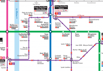 Metro
Metro
MetroDay trips


Frequently Asked Questions (FAQ)
Which popular attractions are close to Le Bachut?
Nearby attractions include 8th arrondissement of Lyon, Lyon (3 min walk), Maison de la Danse, Lyon (4 min walk), Musée urbain Tony Garnier, Lyon (10 min walk), Institut Lumière, Lyon (16 min walk).
How to get to Le Bachut by public transport?
The nearest stations to Le Bachut:
Bus
Tram
Metro
Trolleybus
Bus
- Bachut - Mairie du 8e • Lines: C15, C25, T36 (1 min walk)
- Varichon • Lines: C15, C25 (5 min walk)
Tram
- Bachut - Mairie du 8e • Lines: T2 (2 min walk)
- Villon • Lines: T2 (9 min walk)
Metro
- Monplaisir - Lumière • Lines: D (17 min walk)
- Grange Blanche • Lines: D (17 min walk)
Trolleybus
- Jean Bart • Lines: C13 (22 min walk)
- Place Henri • Lines: C13 (25 min walk)