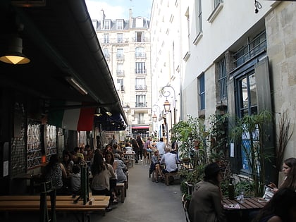
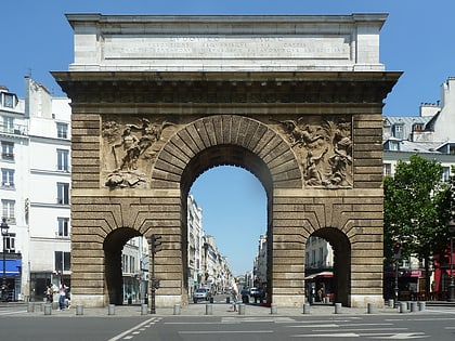
Rue Alibert, Paris
Map
Map

Facts and practical information
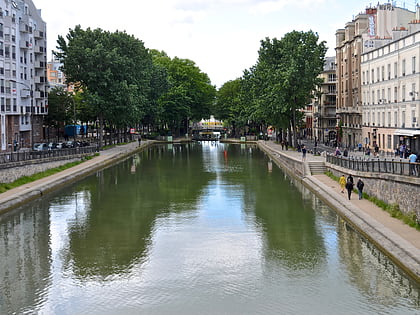
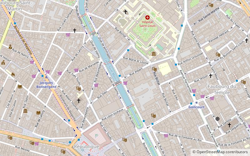
The rue Alibert is a street in the 10th arrondissement of Paris, in France. It starts at 66 Quai de Jemmapes and ends at 1 Avenue Claude-Vellefaux and 161 Avenue Parmentier after having served the rue Bichat and rue Marie-Louise. The street extends rue Dieu, after crossing the Canal Saint-Martin via the Alibert gateway or via the swing bridge on rue Dieu. ()
Address
Entrepôt (Porte Saint-Martin)Paris
ContactAdd
Social media
Add
Day trips
Rue Alibert – popular in the area (distance from the attraction)
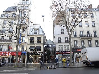
Nearby attractions include: Musée des Arts et Métiers, Canal Saint-Martin, Passage Brady, Bataclan.
Frequently Asked Questions (FAQ)
Which popular attractions are close to Rue Alibert?
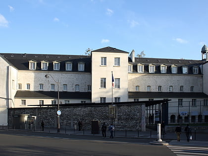
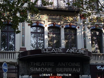
Nearby attractions include Canal Saint-Martin, Paris (4 min walk), Place de la République, Paris (6 min walk), Théâtre Historique, Paris (7 min walk), Couvent des Récollets de Paris, Paris (8 min walk).
How to get to Rue Alibert by public transport?
The nearest stations to Rue Alibert:
Bus
Metro
Train
Ferry
Bus
- Alibert • Lines: 46, 75 (5 min walk)
- Avenue Richerand • Lines: 75 (3 min walk)
Metro
- Goncourt • Lines: 11 (7 min walk)
- Jacques Bonsergent • Lines: 5 (7 min walk)
Train
- East Station (14 min walk)
- Magenta (20 min walk)
Ferry
- Hôtel-de-Ville • Lines: Batobus (33 min walk)
 Metro
Metro
