Ivry-sur-Seine, Paris
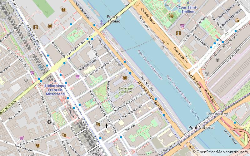
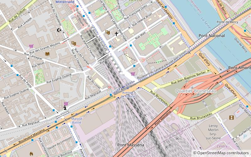
Map
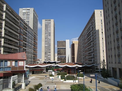
Gallery
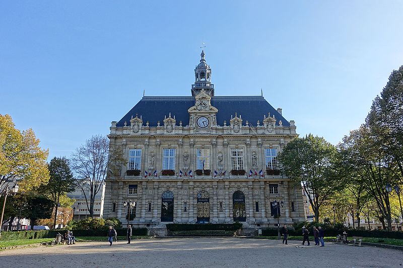
Facts and practical information
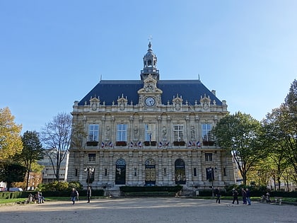
Ivry-sur-Seine is a commune in the Val-de-Marne department in the southeastern suburbs of Paris, France. It is located 5.3 kilometres from the centre of Paris. ()
Address
Ivry-sur-Seine (Centre - Parmentier - Fort)Paris
ContactAdd
Social media
Add
Day trips
Ivry-sur-Seine – popular in the area (distance from the attraction)
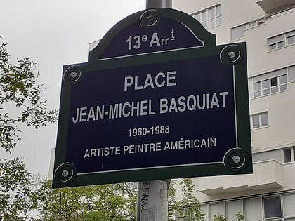
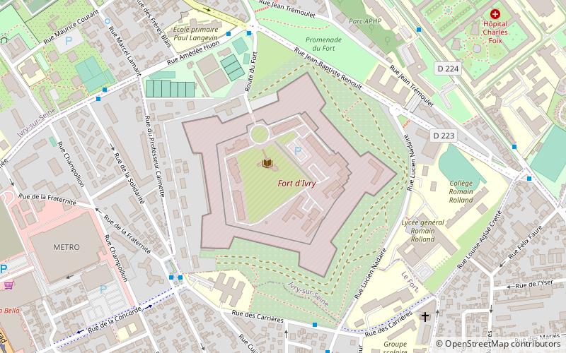
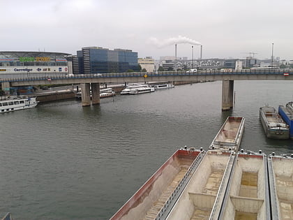
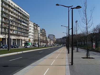
Nearby attractions include: Place Jean-Michel Basquiat, Fort d'Ivry, Nelson Mandela Bridges, Ivry Cemetery.
Frequently Asked Questions (FAQ)
Which popular attractions are close to Ivry-sur-Seine?
Nearby attractions include Tours Duo, Paris (21 min walk), Fort d'Ivry, Montreuil (21 min walk), Ivry Cemetery, Paris (22 min walk), Boulevard du Général-d'Armée-Jean-Simon, Paris (22 min walk).
How to get to Ivry-sur-Seine by public transport?
The nearest stations to Ivry-sur-Seine:
Bus
Train
Metro
Tram
Bus
- Voltaire • Lines: 132, N133 (3 min walk)
- Hôtel de Ville d'Ivry • Lines: 125, 182, 323 (3 min walk)
Train
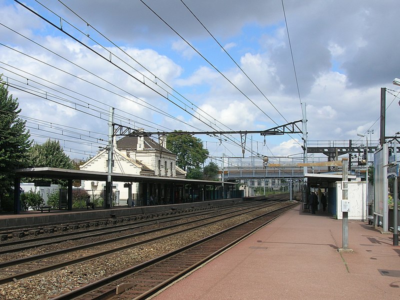
- Ivry-sur-Seine (6 min walk)
- Vitry sur Seine (30 min walk)
Metro
- Mairie d'Ivry • Lines: 7 (6 min walk)
- Pierre et Marie Curie • Lines: 7 (12 min walk)
Tram
- La Briqueterie • Lines: T9 (18 min walk)
- Cimetière Parisien d'Ivry • Lines: T9 (19 min walk)


 Metro
Metro