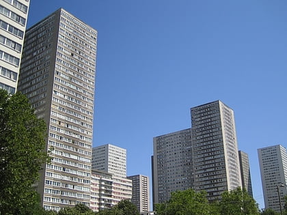
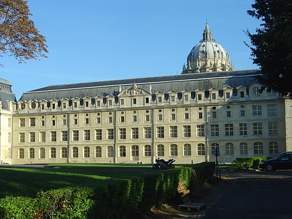
Boulevard Auguste-Blanqui, Paris
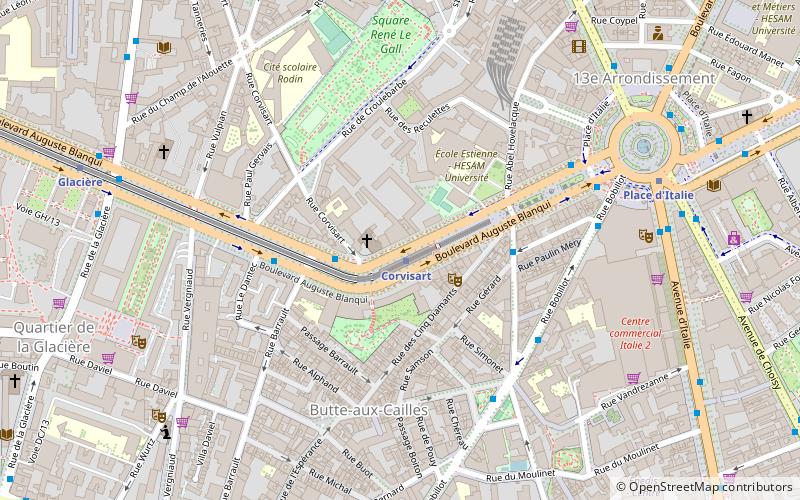
Map
Facts and practical information
The Boulevard Auguste-Blanqui is a boulevard in the 13th arrondissement of Paris. It is one of the main arteries linking the Place d'Italie with the Place Denfert-Rochereau. ()
Address
Gobelins (Croulebarbe)Paris
ContactAdd
Social media
Add
Day trips
Boulevard Auguste-Blanqui – popular in the area (distance from the attraction)
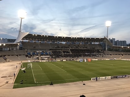
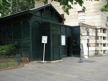
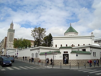
Nearby attractions include: National Museum of Natural History, Stade Charléty, Catacombs of Paris, Grand Mosque of Paris.
Frequently Asked Questions (FAQ)
Which popular attractions are close to Boulevard Auguste-Blanqui?
Nearby attractions include Sainte-Rosalie, Paris (1 min walk), Les Olympiades, Paris (7 min walk), Italie 13, Paris (7 min walk), 13th arrondissement of Paris, Paris (8 min walk).
How to get to Boulevard Auguste-Blanqui by public transport?
The nearest stations to Boulevard Auguste-Blanqui:
Metro
Bus
Tram
Train
Ferry
Metro
- Corvisart • Lines: 6 (1 min walk)
- Place d'Italie • Lines: 5, 6, 7 (7 min walk)
Bus
- Corvisart • Lines: 64 (3 min walk)
- Moulin des Prés • Lines: 57, 67 (3 min walk)
Tram
- Poterne des Peupliers • Lines: T3a (17 min walk)
- Stade Charléty • Lines: T3a (20 min walk)
Train
- Denfert-Rochereau (21 min walk)
- Cité Universitaire (22 min walk)
Ferry
- Jardin des Plantes • Lines: Batobus (33 min walk)
 Metro
Metro
