Refuge des Sarradets, Pyrénées National Park

Gallery (1)
Map
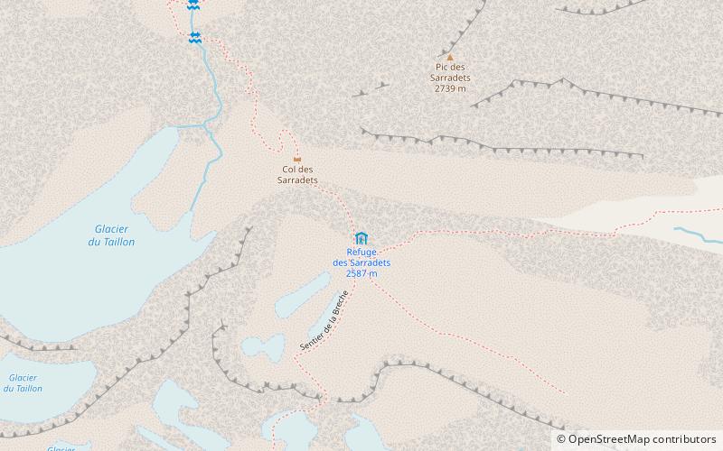
Map
Facts and practical information
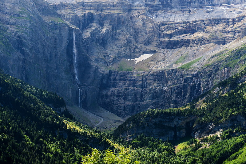
Le refuge des Sarradets, or refuge de la Brèche de Roland is a mountain refuge in the Pyrenees. It is located in Gavarnie, near la brèche de Roland, in the Pyrenees National Park, at 2,587 m high. ()
Address
Pyrénées National Park
ContactAdd
Social media
Add
Day trips