Avenue des Ternes, Paris
Map
Gallery
Facts and practical information
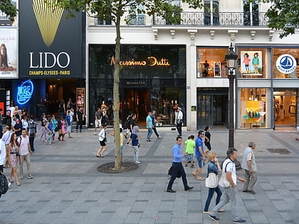
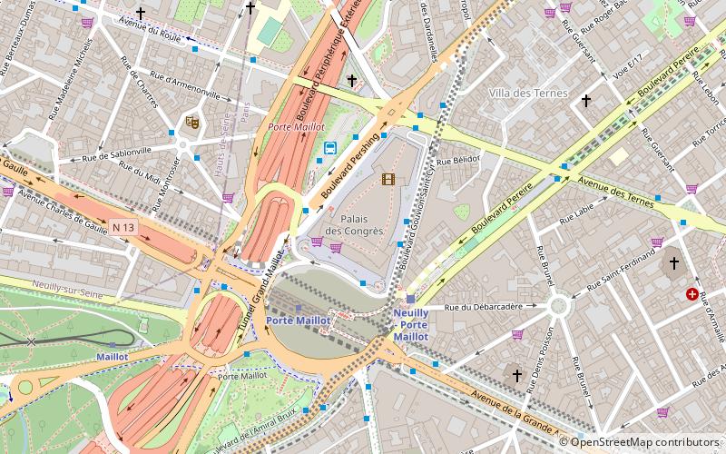
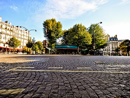
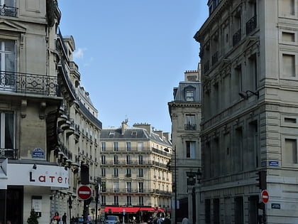
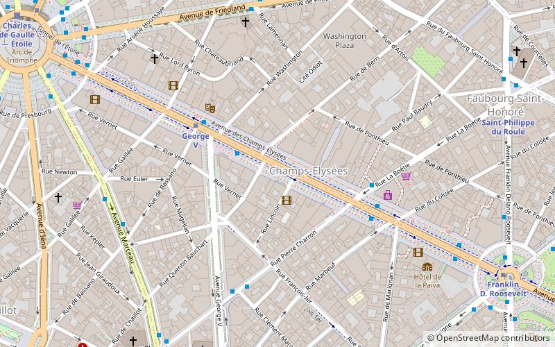
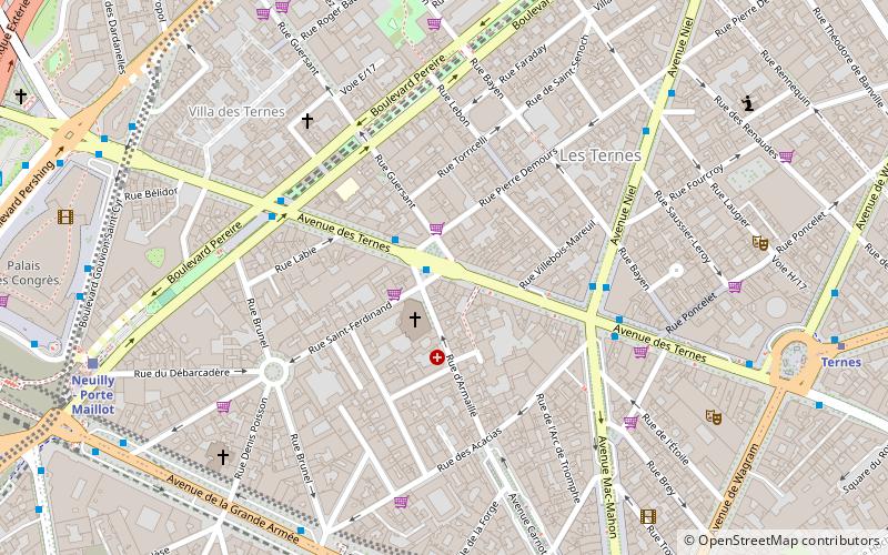
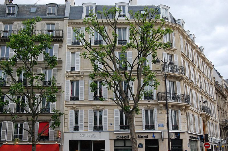
Avenue des Ternes is an avenue in the 17th arrondissement of Paris, between Place des Ternes and boulevard Gouvion-Saint-Cyr. It is 920 m long and 35 m wide and was given its present name in 1863. It is on both sides of place Tristan-Bernard. ()
Address
Batignolles-Monceau (Ternes)Paris
ContactAdd
Social media
Add
Day trips
Avenue des Ternes – popular in the area (distance from the attraction)
Nearby attractions include: Arc de Triomphe, Place Charles de Gaulle, Le Queen, Lido.
Frequently Asked Questions (FAQ)
Which popular attractions are close to Avenue des Ternes?
Nearby attractions include Place des Ternes, Paris (8 min walk), Porte Maillot, Paris (9 min walk), Palais des congrès de Paris, Paris (10 min walk), Rue de Tilsitt, Paris (11 min walk).
How to get to Avenue des Ternes by public transport?
The nearest stations to Avenue des Ternes:
Bus
Metro
Train
Tram
Ferry
Bus
- Église Saint-Ferdinand • Lines: 43 (1 min walk)
- Ternes - Mac Mahon • Lines: 341, 92 (4 min walk)
Metro
- Argentine • Lines: 1 (7 min walk)
- Ternes • Lines: 2 (10 min walk)
Train
- Neuilly - Porte Maillot (9 min walk)
- Charles de Gaulle-Étoile (10 min walk)
Tram
- Porte d'Asnières-Marguerite Long • Lines: T3b (24 min walk)
- Porte de Clichy • Lines: T3b (38 min walk)
Ferry
- Port des Champs-Elysées • Lines: Batobus (39 min walk)
 Metro
Metro


