Saint-Germain Cemetery, Paris
Map
Facts and practical information
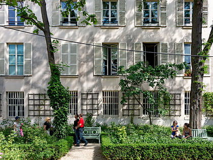
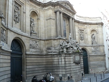
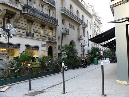
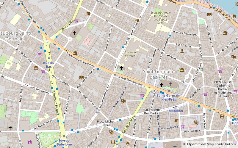
The Saint-Germain Cemetery or Saint-Pierre Cemetery was a rectangular cemetery in Paris, first attested in 1259 and used by Protestants from 1598 to 1604 onwards. It was sited in the north-west corner of the former rue Taranne and rue des Saints-Pères, alongside the chapelle des Saint-Pères (on the site now occupied by square de la Charité at 186 boulevard Saint-Germain. It measured 27 toise by 8 toise. Its site is now covered by Square Taras-Chevtchenko. ()
Address
Luxembourg (Saint Germain Des Prés)Paris
ContactAdd
Social media
Add
Day trips
Saint-Germain Cemetery – popular in the area (distance from the attraction)
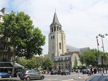
Nearby attractions include: Church of Saint-Sulpice, Pont du Carrousel, Abbey of Saint-Germain-des-Prés, Musée national Eugène Delacroix.
Frequently Asked Questions (FAQ)
Which popular attractions are close to Saint-Germain Cemetery?
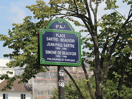
Nearby attractions include Saints-Pères Cemetery, Paris (1 min walk), Abbey of Saint-Germain-des-Prés, Paris (3 min walk), Place Jean-Paul-Sartre-et-Simone-de-Beauvoir, Paris (4 min walk), Maison de Verre, Paris (4 min walk).
How to get to Saint-Germain Cemetery by public transport?
The nearest stations to Saint-Germain Cemetery:
Bus
Metro
Ferry
Train
Bus
- Saint-Guillaume • Lines: 63, 87, N02 (2 min walk)
- Jacob • Lines: 39, 95, N12, N13 (3 min walk)
Metro
- Saint-Germain-des-Prés • Lines: 4 (5 min walk)
- Mabillon • Lines: 10 (6 min walk)
Ferry
- Louvre • Lines: Batobus (10 min walk)
- Musée d'Orsay • Lines: Batobus (13 min walk)
Train
- Musée d'Orsay (13 min walk)
- Saint-Michel Notre-Dame (18 min walk)
 Metro
Metro