Rue de Presbourg, Paris
Map
Map

Facts and practical information
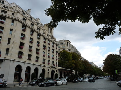
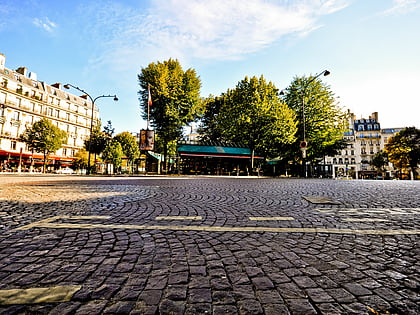
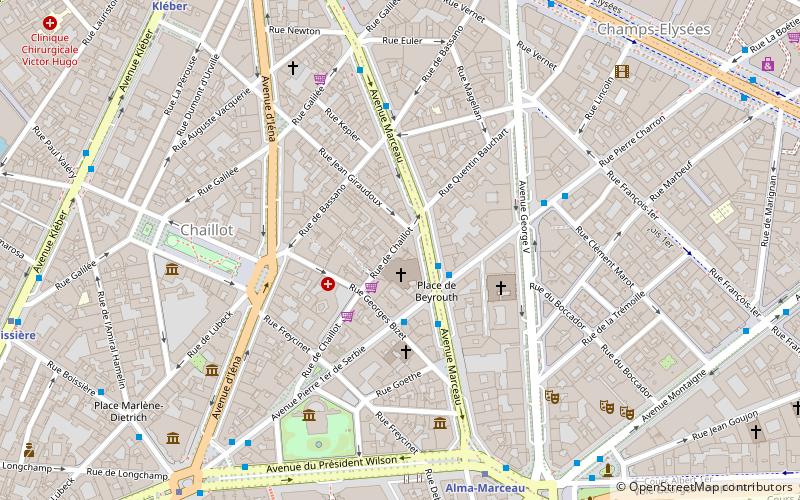
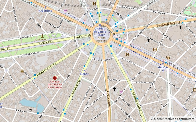
Rue de Presbourg is a street in the 8th and 16th arrondissements of Paris. Since 1864 it has been named after Napoleon's 1805 diplomatic success at the Peace of Pressburg and, with the Rue de Tilsitt, it forms a circle around Place Charles-de-Gaulle. ()
Address
Passy (Chaillot)Paris
ContactAdd
Social media
Add
Day trips
Rue de Presbourg – popular in the area (distance from the attraction)
Nearby attractions include: Arc de Triomphe, Place Charles de Gaulle, Avenue George V, Le Queen.
Frequently Asked Questions (FAQ)
Which popular attractions are close to Rue de Presbourg?
Nearby attractions include Avenue Kléber, Paris (3 min walk), Arc de Triomphe, Paris (3 min walk), Place Charles de Gaulle, Paris (3 min walk), Avenue Foch, Paris (4 min walk).
How to get to Rue de Presbourg by public transport?
The nearest stations to Rue de Presbourg:
Bus
Metro
Train
Ferry
Bus
- Charles de Gaulle - Étoile - Kléber • Lines: 22, 30, N53 (1 min walk)
- Charles de Gaulle - Étoile • Lines: Bleue (2 min walk)
Metro
- Kléber • Lines: 6 (3 min walk)
- Charles de Gaulle — Étoile • Lines: 1, 2, 6 (5 min walk)
Train
- Charles de Gaulle-Étoile (4 min walk)
- Charles de Gaulle — Étoile (4 min walk)
Ferry
- Tour-Eiffel • Lines: Batobus (22 min walk)
- Port des Champs-Elysées • Lines: Batobus (28 min walk)

 Metro
Metro

