Place Louis Lépine, Paris
Map
Gallery
Facts and practical information
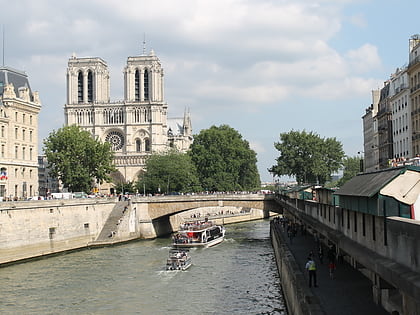
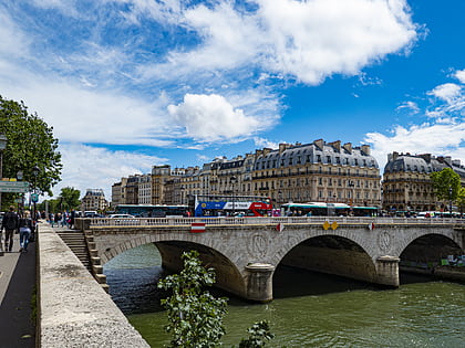
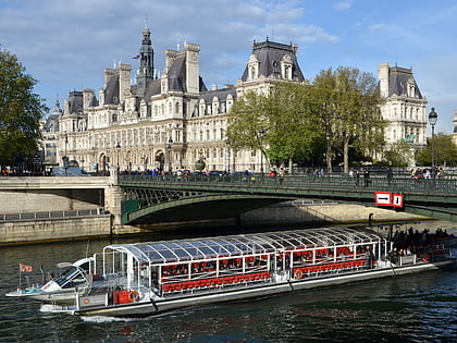
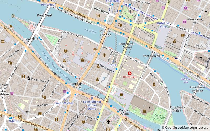
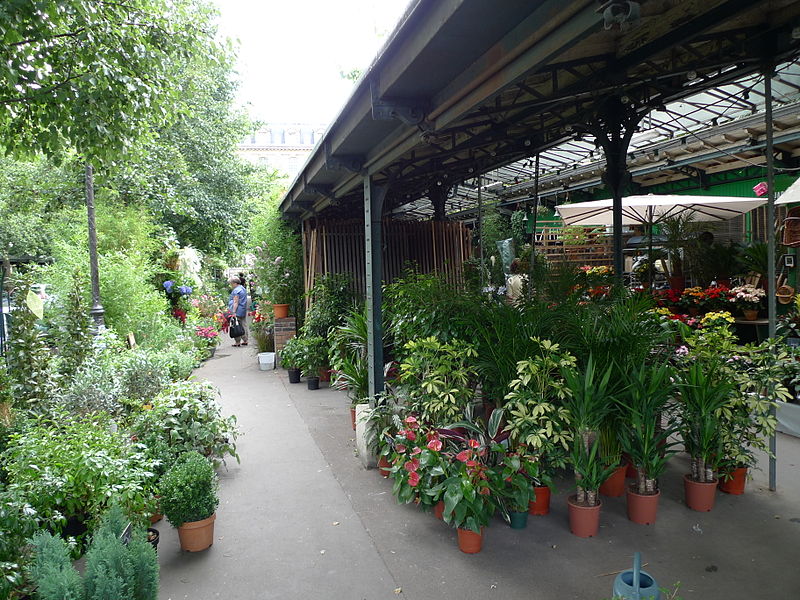
The place Louis-Lépine is a square in the 4th arrondissement of Paris on the île de la Cité. It is bounded by the rue de la Cité, rue de Lutèce, rue Aubé, the quai de la Corse, and is crossed by the allée Célestin-Hennion. It is named after Louis Lépine, a notable prefect of the Paris police. The Metro station Cité has its only entrance on the square. It is the venue for the Marché aux fleurs Reine-Elizabeth-II, a flower and bird market. ()
Address
Hôtel-de-Ville (Notre Dame)Paris
ContactAdd
Social media
Add
Day trips
Place Louis Lépine – popular in the area (distance from the attraction)
Nearby attractions include: Notre-Dame de Paris, Sainte-Chapelle, Conciergerie, Charlemagne et ses Leudes.
Frequently Asked Questions (FAQ)
Which popular attractions are close to Place Louis Lépine?
Nearby attractions include Lutetia, Paris (1 min walk), Île de la Cité, Paris (1 min walk), Wallace fountain, Paris (1 min walk), Flower Market Queen Elizabeth II, Paris (2 min walk).
How to get to Place Louis Lépine by public transport?
The nearest stations to Place Louis Lépine:
Metro
Bus
Train
Ferry
Metro
- Cité • Lines: 4 (1 min walk)
- Saint-Michel • Lines: 4 (6 min walk)
Bus
- Cité - Parvis Notre-Dame • Lines: 47, 75, N15, N22 (2 min walk)
- Cité - Palais de Justice • Lines: 21, 38, 47, 58, 96, N12, N13, N14, N15, N21, N22 (2 min walk)
Train
- Saint-Michel Notre-Dame (4 min walk)
- Châtelet - Les Halles (12 min walk)
Ferry
- Notre-Dame • Lines: Batobus (7 min walk)
- Hôtel-de-Ville • Lines: Batobus (8 min walk)

 Metro
Metro


