Accra Metropolis District, Accra
Map
Facts and practical information
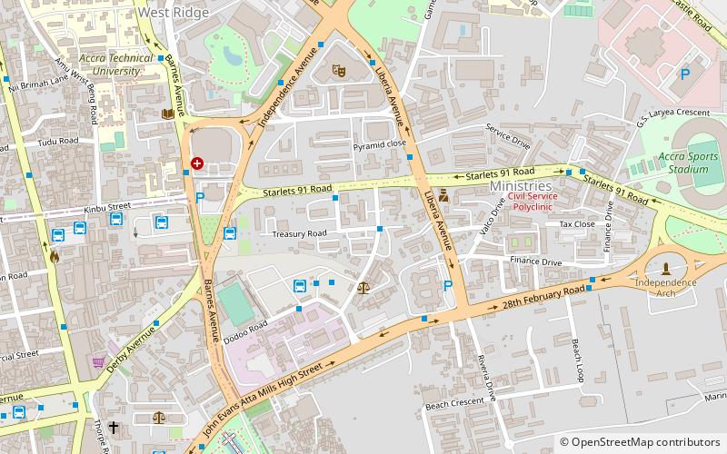
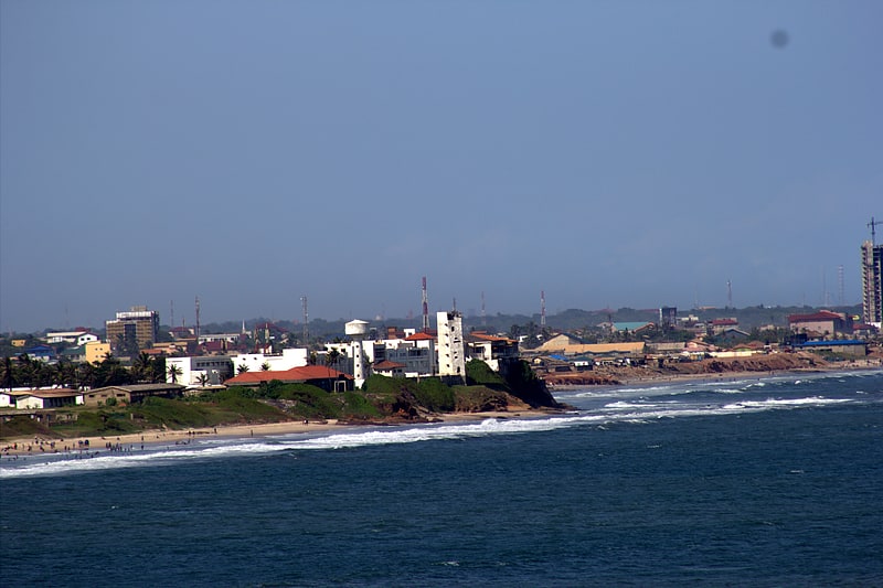
The Accra Metropolitan District is one of the 254 Metropolitan, Municipal and Districts in Ghana, and among the 26 such districts in the Greater Accra Region with a population of 284,124 as of 2021. As of March 2018, it spans an area of approximately 60 km2 and encompasses the Ablekuma South, Ashiedu Keteke, and Okaikoi South sub-metropolitan district councils. ()
Getting there by public transportation
Public transportation stops near this location
- Bus
- Train
 Bus
Bus
- Calculate routeOld Tema Station 1 min walk
- Calculate routeNovotel 1 min walk
- Calculate routePrecious Minerals 2 min walk
- Calculate routeTema Station Union of GPRTU 3 min walk
- Calculate routeAccra 20 min walk
Day trips


Frequently Asked Questions (FAQ)
Which popular attractions are close to Accra Metropolis District?
Nearby attractions include George Padmore Research Library, Accra (10 min walk), Accra Ridge Church, Accra (11 min walk), Ghana Stock Exchange, Accra (11 min walk), Efua Sutherland Children's Park, Accra (11 min walk).
How to get to Accra Metropolis District by public transport?
The nearest stations to Accra Metropolis District:
Bus
Train
Bus
- Old Tema Station • Lines: 163, 212, 256, 525 (1 min walk)
- Novotel • Lines: 202 (1 min walk)
Train
- Accra (20 min walk)