Kwame Nkrumah Circle, Accra
Map
Facts and practical information
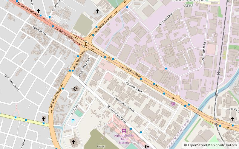
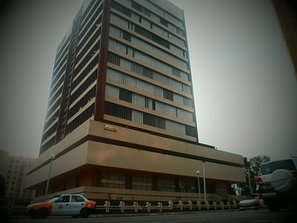
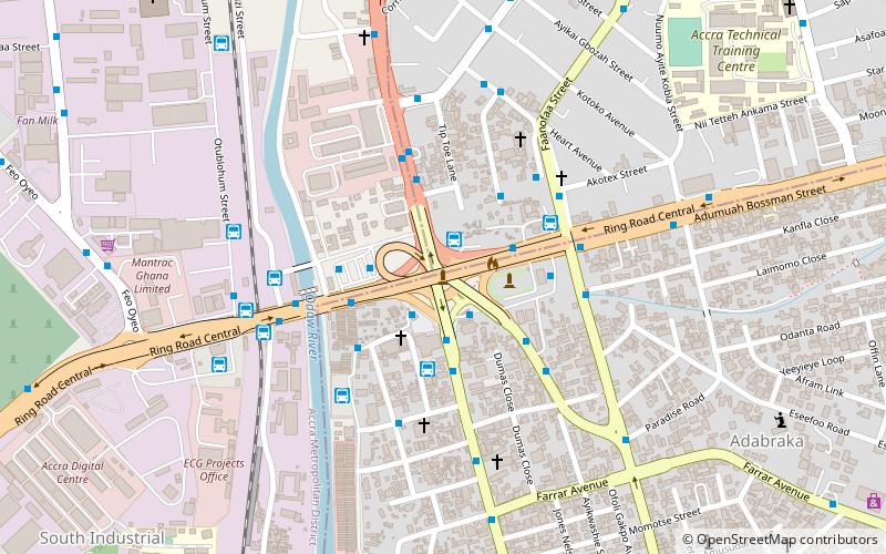
Kwame Nkrumah Interchange is a 3-tier interchange which was constructed to replace the Kwame Nkrumah Circle in the centre of the city of Accra, Ghana. It opened in 2016. The interchange is named in honour of Ghana's first president, Kwame Nkrumah, who was the leading figure during the country's fight for independence from Britain. Both the current and the old edifices remain iconic landmarks of Ghana's capital city, Accra. ()
Coordinates: 5°34'11"N, 0°12'55"W
Address
Accra
ContactAdd
Social media
Add
Day trips
Kwame Nkrumah Circle – popular in the area (distance from the attraction)
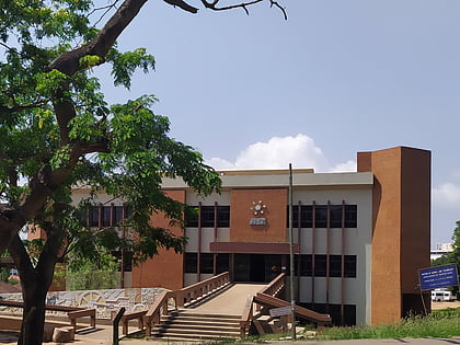
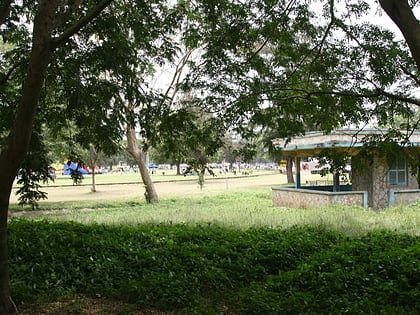
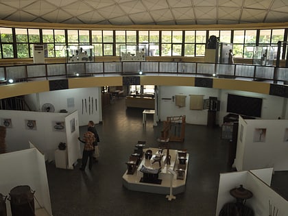
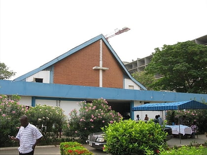
Nearby attractions include: Museum of Science and Technology, Efua Sutherland Children's Park, National Museum of Ghana, Accra Ridge Church.
Frequently Asked Questions (FAQ)
How to get to Kwame Nkrumah Circle by public transport?
The nearest stations to Kwame Nkrumah Circle:
Bus
Train
Bus
- Accra, Circle (2 min walk)
- Circle • Lines: 11, 157, 202, 204, 206, 207, 208, 210, 212, 214, 216, 221, 222, 241, 255, 395, 422, 423, 428, 454, 996 (3 min walk)
Train
- Odo (10 min walk)
