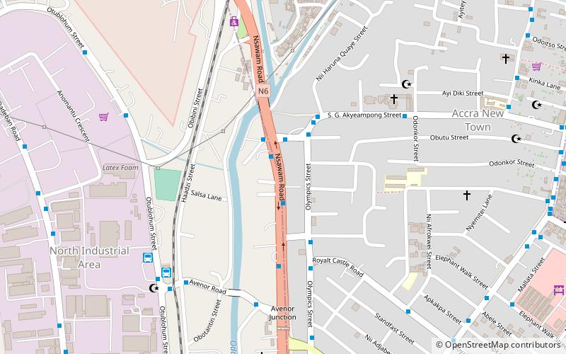
Ayawaso East Municipal District, Accra
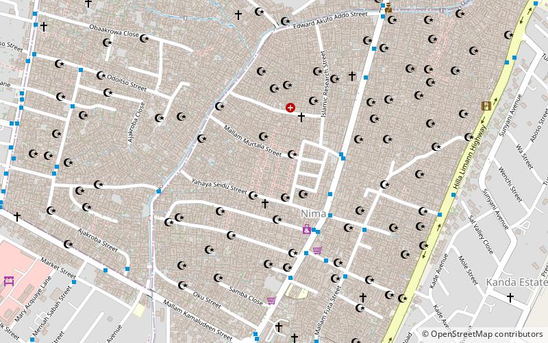
Map
Facts and practical information
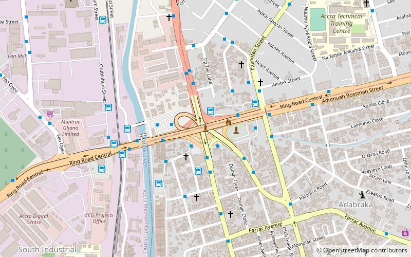
Ayawaso East Municipal District is one of the twenty-nine districts in Greater Accra Region, Ghana. Originally it was formerly part of the then-larger Accra Metropolitan District in 1988, until a small portion of the district was split off to create Ayawaso East Municipal District on 15 March 2018; thus the remaining part has been retained as Accra Metropolitan District. The municipality is located in the central part of Greater Accra Region and has Nima as its capital town. ()
Coordinates: 5°34'60"N, 0°12'0"W
Address
Accra
ContactAdd
Social media
Add
Day trips
Ayawaso East Municipal District – popular in the area (distance from the attraction)
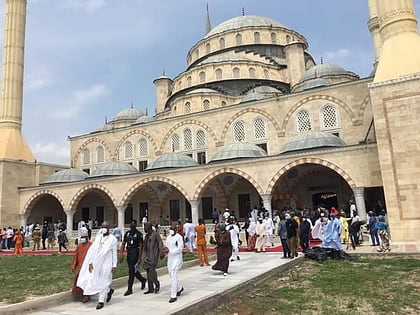
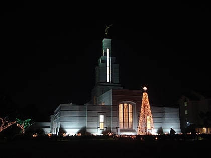
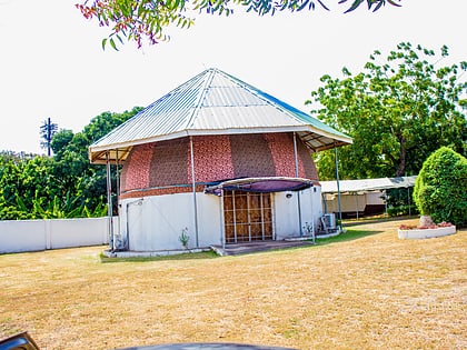
Nearby attractions include: Ghana National Mosque, Accra Ghana Temple, Ghana Planetarium, Kwame Nkrumah Circle.
Frequently Asked Questions (FAQ)
Which popular attractions are close to Ayawaso East Municipal District?
Nearby attractions include Ayawaso Central Municipal District, Accra (1 min walk), Ghana National Mosque, Accra (23 min walk).
How to get to Ayawaso East Municipal District by public transport?
The nearest stations to Ayawaso East Municipal District:
Bus
Bus
- Traffic • Lines: 274, 405, 406, 408, 414, 423, 996 (4 min walk)
- Borla • Lines: 274, 405, 406, 408, 412, 414, 415, 996 (4 min walk)
