Korle-Klottey Municipal District, Accra
Facts and practical information
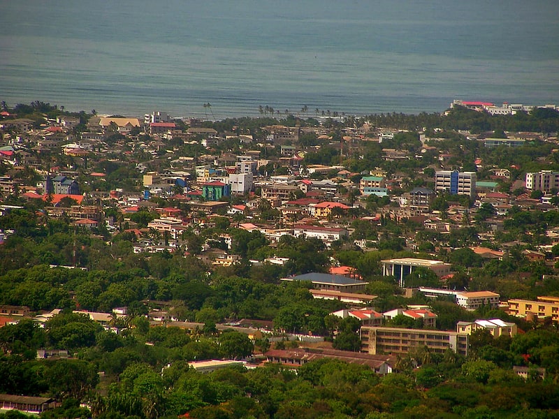
Nestled in the heart of Ghana's bustling capital, Accra, lies the Korle-Klottey Municipal District – a vibrant area pulsating with the lifeblood of the city's rich culture and history. This administrative district, established in 2019 as part of the country's local government restructuring efforts, serves as a central hub for commerce, administration, and tourism in Accra.
Korle-Klottey is known for its diverse blend of historical landmarks and modern infrastructures, evidencing Ghana's journey through the ages. The district is home to iconic sites such as the Osu Castle, which dates back to the 17th century when it was built by the Danes. It has since played various roles, from being a seat of government to a presidential residence, and now stands as a poignant reminder of the nation's colonial past.
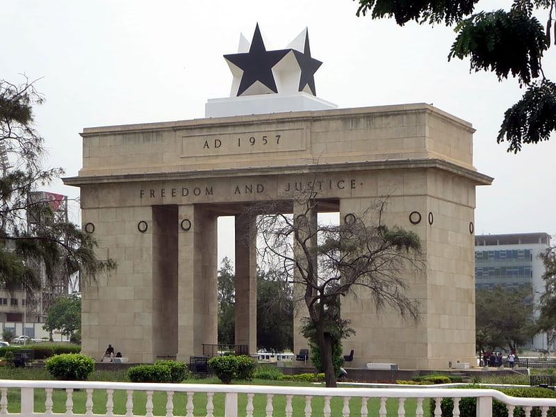
The area is also famed for the Kwame Nkrumah Mausoleum and Memorial Park, dedicated to Ghana's first President and a key figure in African nationalism. This remarkable site, with its distinctive architectural design, is a place of pilgrimage for those who wish to honor the memory and legacy of the man who led the country to independence.
In the heart of Korle-Klottey, the bustling Makola Market offers a sensory overload with its array of goods, from traditional textiles to local spices, providing a taste of the entrepreneurial spirit that characterizes Accra. The district's commercial vitality is further bolstered by the presence of the Accra Central Business District, where businesses thrive amidst the daily hustle and bustle.
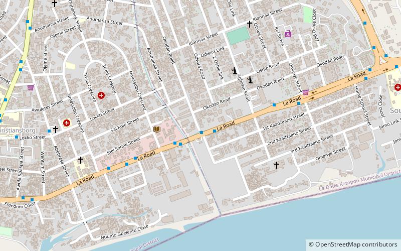
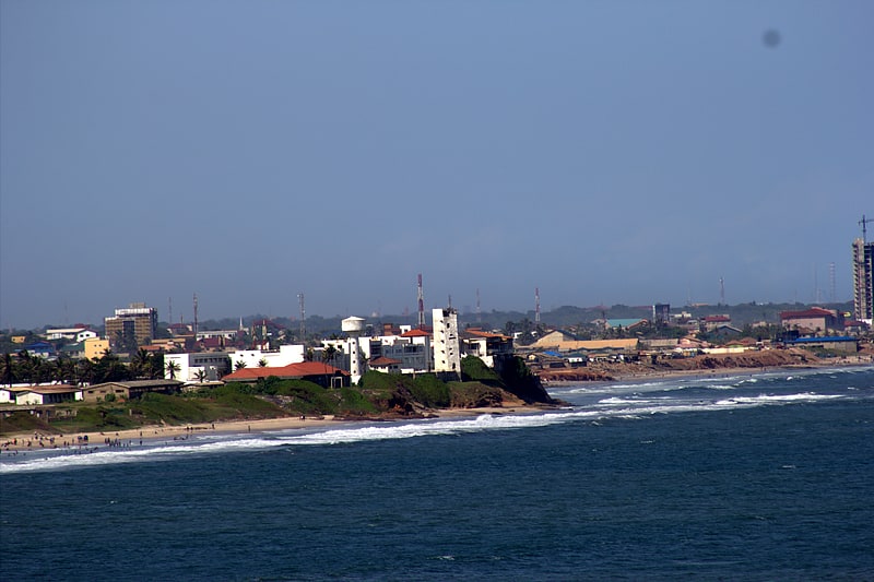
The area is also a nexus of transportation, with major roads and public transport routes intersecting here, making it an accessible destination for both locals and tourists. Its strategic location along the Gulf of Guinea means that the district enjoys a lively coastal atmosphere, with the beaches offering a respite from the urban energy.
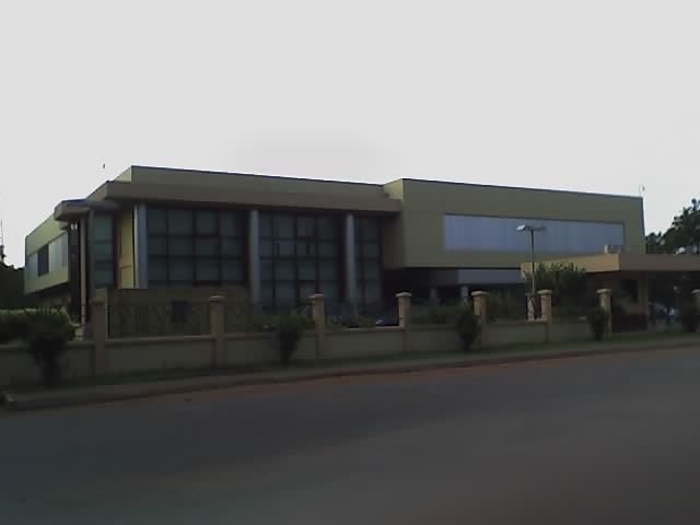
Cultural enthusiasts will find the National Theatre in Korle-Klottey, a modern facility that hosts a variety of performances, from traditional dance to contemporary plays, reflecting Ghana's rich artistic heritage. The district's commitment to education and knowledge is embodied by the presence of the Accra City Campus of the University of Ghana, fostering the next generation of leaders and thinkers.
Accra
- Bus
 Bus
Bus
- Calculate routeKaadzano Junction 2 min walk
- Calculate routeRigal Bus stop 2 min walk
- Calculate routeOsu Police Station 6 min walk


Frequently Asked Questions (FAQ)
Which popular attractions are close to Korle-Klottey Municipal District?
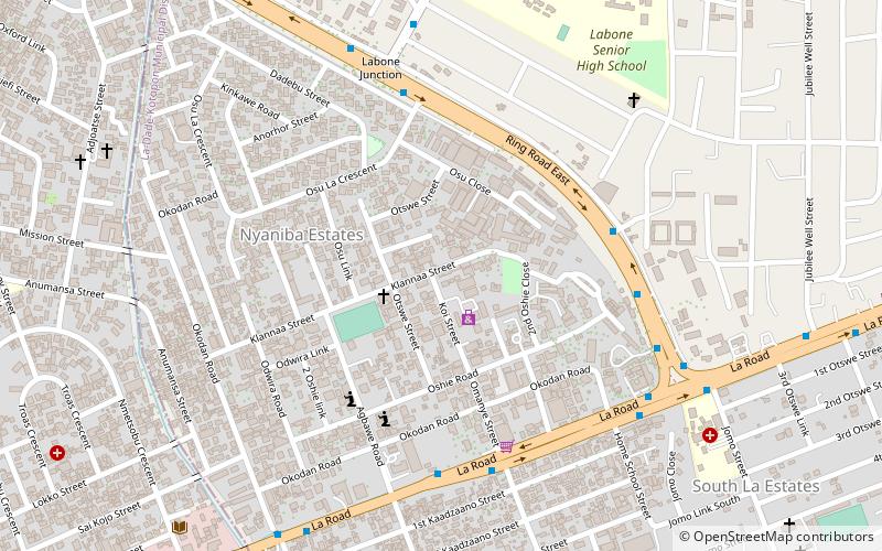
How to get to Korle-Klottey Municipal District by public transport?
Bus
- Kaadzano Junction • Lines: 468 (2 min walk)
- Rigal Bus stop • Lines: 468, 469, 523 (2 min walk)