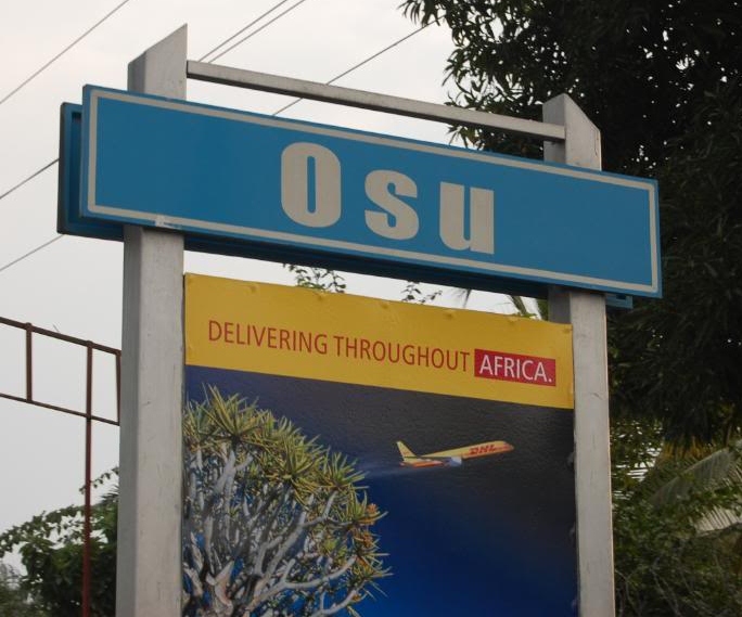
Osu, Accra
Map
Gallery
Facts and practical information
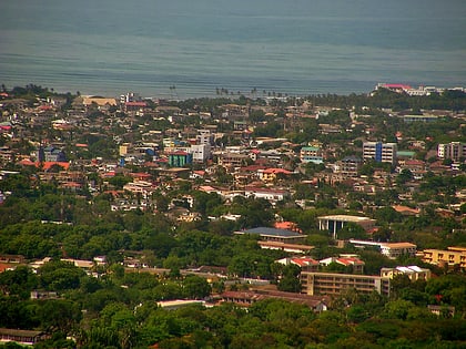
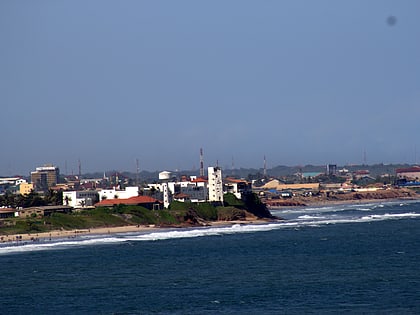
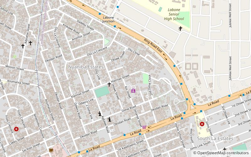
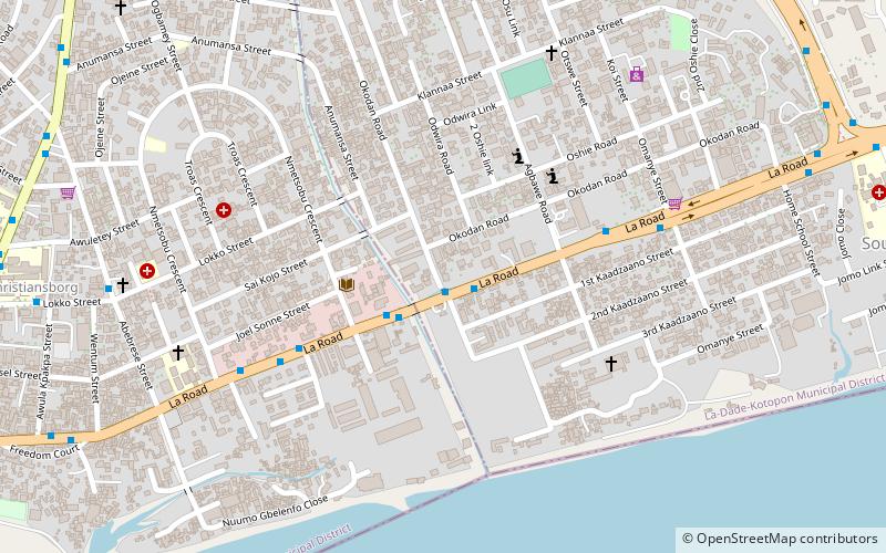
Located about 3 kilometres east of the central business district, Osu is a neighborhood in central Accra, Ghana, known for its busy commercial, restaurant and nightlife activity. It is locally known as the "West End" of Accra. Bounded to the south by the Gulf of Guinea, Osu's western boundary is the Independence Avenue. Ring Road separates Osu from the northern district of Labone. ()
Day trips
Osu – popular in the area (distance from the attraction)
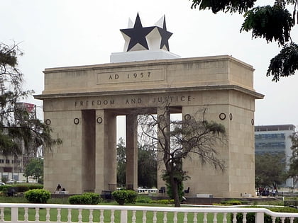
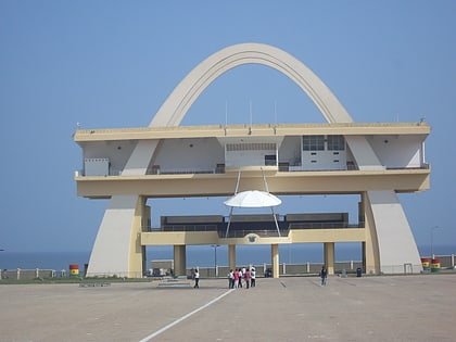
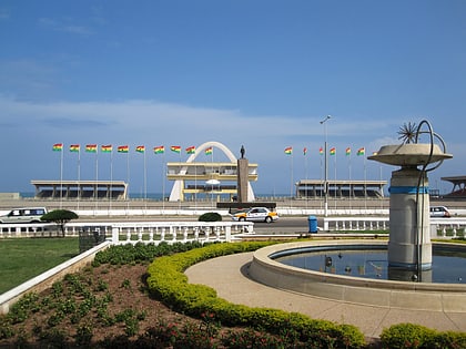
Nearby attractions include: Black Star Gate, Osu Castle, Independence Arch, Independence Square.
Frequently Asked Questions (FAQ)
Which popular attractions are close to Osu?
Nearby attractions include Korle-Klottey Municipal District, Accra (1 min walk), Open University of West Africa, Accra (11 min walk), Osu Castle, Accra (20 min walk).
How to get to Osu by public transport?
The nearest stations to Osu:
Bus
Bus
- Kaadzano Junction • Lines: 468 (2 min walk)
- Rigal Bus stop • Lines: 468, 469, 523 (2 min walk)
