Ablekuma West Municipal District, Accra
Map
Facts and practical information
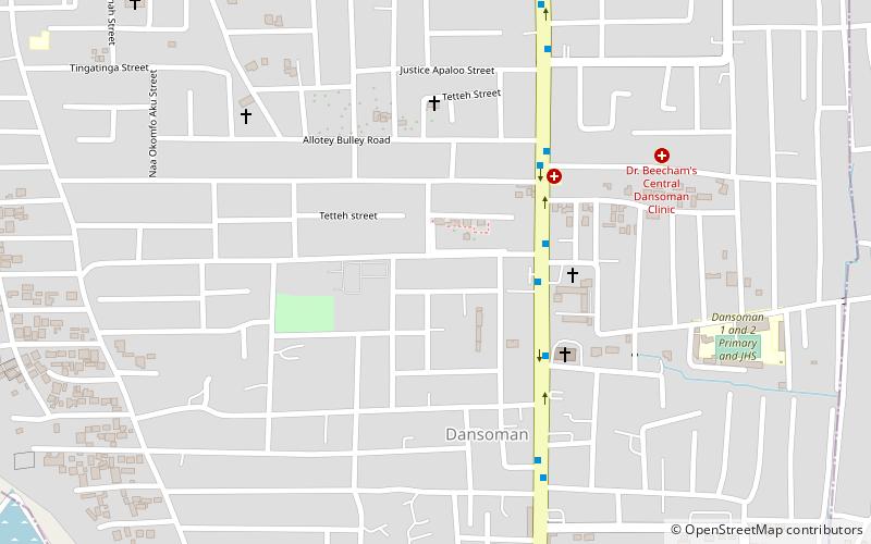
Ablekuma West Municipal District is one of the twenty-nine districts in Greater Accra Region, Ghana. Originally it was formerly part of the then-larger Accra Metropolitan District in 1988, until a small portion of the district was split off to create Ablekuma West Municipal District on 15 March 2018; thus the remaining part has been retained as Accra Metropolitan District. The municipality is located in the central part of Greater Accra Region and has Dansoman as its capital town. ()
Coordinates: 5°33'0"N, 0°16'0"W
Address
Accra
ContactAdd
Social media
Add
Day trips
Ablekuma West Municipal District – popular in the area (distance from the attraction)
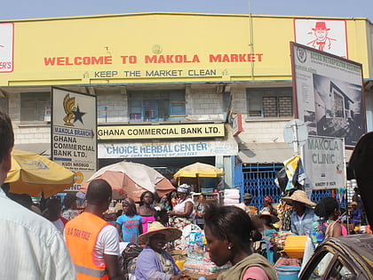
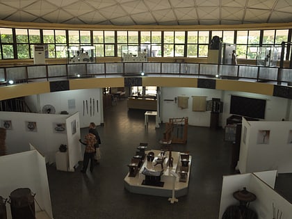
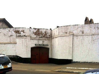
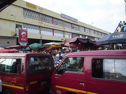
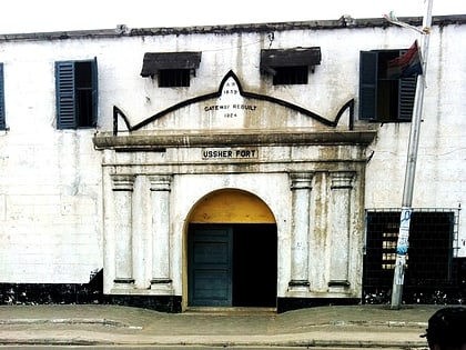
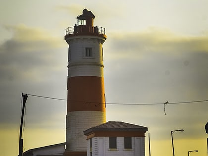
Nearby attractions include: Makola Market, National Museum of Ghana, Fort James, Kaneshie market.
Frequently Asked Questions (FAQ)
How to get to Ablekuma West Municipal District by public transport?
The nearest stations to Ablekuma West Municipal District:
Bus
Bus
- Sahara • Lines: 235, 236, 237, 238, 240, 242, 243, 264, 290, 305, 445, 467, 540 (4 min walk)
- Emmanuel Presby • Lines: 235, 236, 237, 238, 240, 243, 264, 290, 305, 445, 467, 540 (5 min walk)
