Peiraios Street, Athens
Map
Facts and practical information
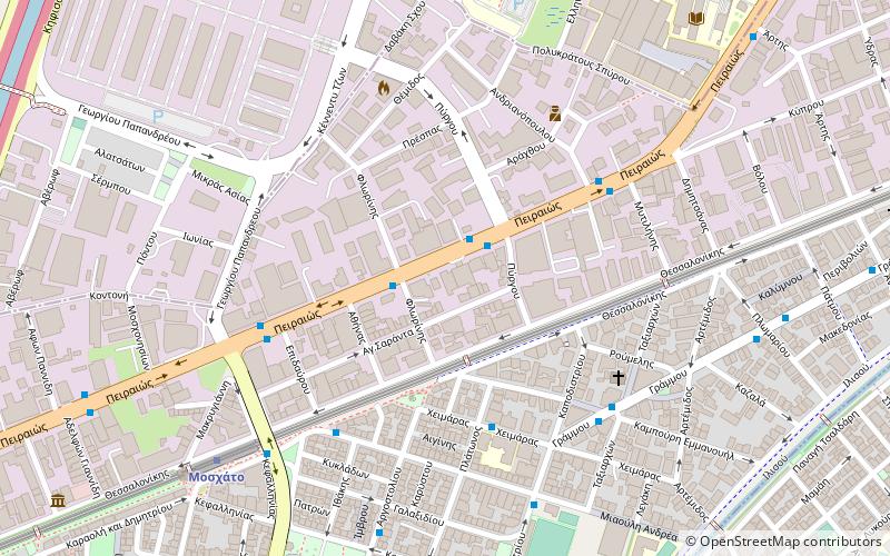
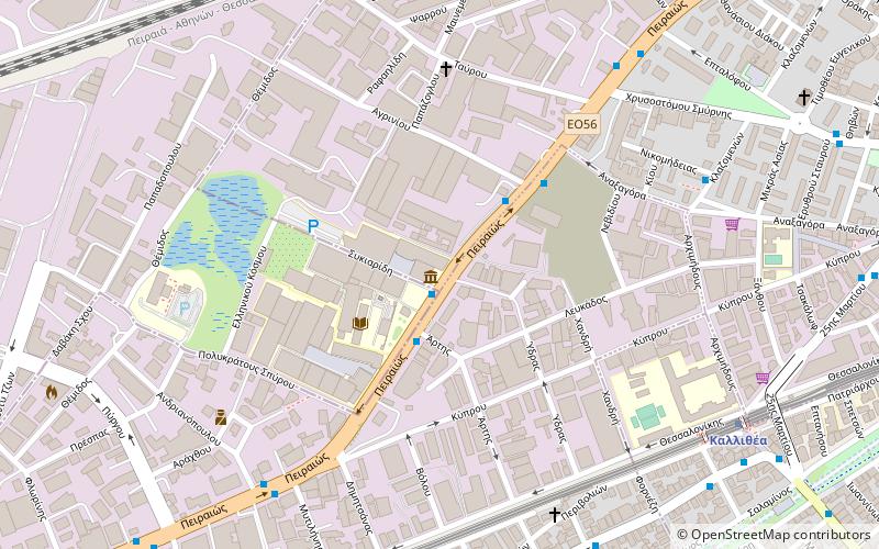
Peiraios Street is a main road in Athens, Greece linking the center of the city with the port of Piraeus. It is part of the system of national roads, as number 56. Its length spans 10 km. Major intersections and an interchange include Karaoli Dimitriou Street, Kifissou Avenue, the Konstantinopouleos Avenue junction, Apostolou Pavlou with Vasileiou tou Megalou, Ermou, Thermopylon, Sofokleous, Deligiorgi and Sokratous Street. The island areas of the road are aligned with trees, and historically the avenue runs over parts of the north wall and ancient road of Phaleron. ()
Address
Ταυροσ (Σταματάκη)Athens
ContactAdd
Social media
Add
Getting there by public transportation
Public transportation stops near this location
- Metro
- Bus
- Trolleybus
- Tram
- Train
 Metro
Metro
- Calculate routeΝεα Λαχαναγορα 2 min walk
- Calculate routeΕλβυν 2 min walk
- Calculate routeΛαχαναγορα 2 min walk
- Calculate routeΣχολειο 5 min walk
- Calculate routeΜιαουλη 6 min walk
- Calculate routeΤερμα 7 min walk
- Calculate routeΟαεδ 8 min walk
- Calculate routeΗσαπ Μοσχατου 9 min walk
- Calculate routeMoschato 8 min walk
- Calculate routeKallithea 18 min walk
- Calculate routeTavros - Eleftherios Venizelos 28 min walk
- Calculate routeFaliro 36 min walk
- Calculate routeTavros 23 min walk
- Calculate routeRentis 24 min walk
- Calculate routeRouf 39 min walk
- Calculate routeΜοσχάτο 26 min walk
- Calculate routeΚαλλιθέα 27 min walk
- Calculate routeΝέο Φάληρο 33 min walk
- Calculate routeΣ.ε.φ. 39 min walk
Day trips


Frequently Asked Questions (FAQ)
Which popular attractions are close to Peiraios Street?
Nearby attractions include Hellenic Cosmos, Athens (13 min walk), Kallithea, Athens (22 min walk).
How to get to Peiraios Street by public transport?
The nearest stations to Peiraios Street:
Bus
Trolleybus
Metro
Train
Tram
Bus
- Νεα Λαχαναγορα • Lines: 049 (2 min walk)
- Ελβυν • Lines: 049 (2 min walk)
Trolleybus
- Μιαουλη • Lines: 1 (6 min walk)
- Τερμα • Lines: 1 (7 min walk)
Metro
- Moschato • Lines: Μ1 (8 min walk)
- Kallithea • Lines: Μ1 (18 min walk)
Train
- Tavros (23 min walk)
- Rentis (24 min walk)
Tram
- Μοσχάτο (26 min walk)
- Καλλιθέα (27 min walk)