Alexandras Avenue, Athens
Map
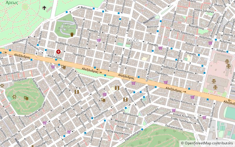
Map

Facts and practical information
Alexandra's Avenue is a main east–west thoroughfare running from Patission Street/28 October Street and Kifissias Avenue in the northern part of the city of Athens, Greece. It is named after Princess Alexandra of Greece, later Grand Duchess Alexandra Georgievna of Russia. The avenue has two regular traffic lanes plus one dedicated bus lane per direction. Its total length is approximately 3 km. ()
Address
Αθήνα 6 (Πολύγωνο)Athens
ContactAdd
Social media
Add
Day trips
Alexandras Avenue – popular in the area (distance from the attraction)
Nearby attractions include: National Archaeological Museum, Mount Lycabettus, Apostolos Nikolaidis Stadium, Epigraphical Museum.
Frequently Asked Questions (FAQ)
Which popular attractions are close to Alexandras Avenue?
Nearby attractions include Strefi Hill, Athens (10 min walk), Pedion tou Areos, Athens (13 min walk), Apostolos Nikolaidis Stadium, Athens (13 min walk), Gyzi, Athens (13 min walk).
How to get to Alexandras Avenue by public transport?
The nearest stations to Alexandras Avenue:
Trolleybus
Bus
Train
Metro
Tram
Trolleybus
- Παναθηναια • Lines: 14 (2 min walk)
- Ιπποκρατουσ • Lines: 14 (5 min walk)
Bus
- Ιπποκρατουσ • Lines: 025 (4 min walk)
- Φαναριωτων • Lines: 025 (4 min walk)
Train
- Lycabettus Hill Funicular - Top Station (14 min walk)
- Lycabettus Hill Funicular - Lower Station (17 min walk)
Metro
- Ambelokipi • Lines: Μ3 (18 min walk)
- Megaro Mousikis Metro • Lines: Μ3 (22 min walk)
Tram
- Syntagma • Lines: Τ4, Τ5 (31 min walk)


