Municipal Stadium of Moschato, Athens
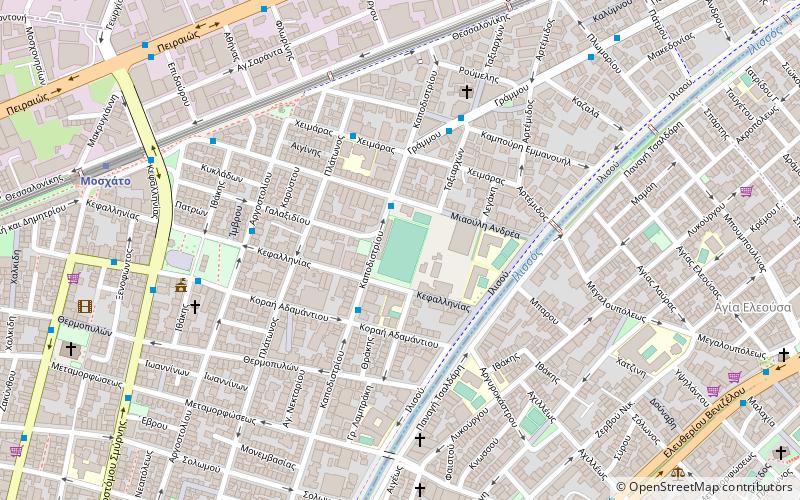
Map
Facts and practical information
The stadium of Moschato is a sports venue owned by the municipality of Moschato - Tavros, located in southern Athens. It is to be found at the Kapodistriou & Miaouli streets junction and it hosts only football matches. ()
Local name: Δημοτικό γήπεδο ΜοσχάτουCoordinates: 37°57'14"N, 23°41'12"E
Address
Μοσχάτο (Moschato)Athens
ContactAdd
Social media
Add
Getting there by public transportation
Public transportation stops near this location
- Metro
- Bus
- Trolleybus
- Tram
- Train
 Metro
Metro
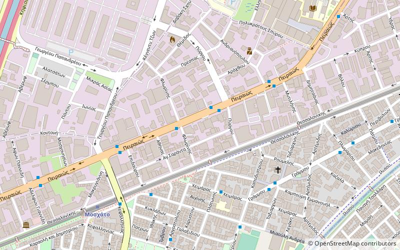
- Calculate routeΓηπεδο 2 min walk
- Calculate routeΚεφαλληνιασ 3 min walk
- Calculate routeΣχολειο 4 min walk
- Calculate routeΤαξιαρχων 5 min walk
- Calculate routeΟαεδ 5 min walk
- Calculate routeΔημαρχειο 7 min walk
- Calculate routeΜιαουλη 7 min walk
- Calculate routeΤερμα 8 min walk
- Calculate routeMoschato 9 min walk
- Calculate routeKallithea 19 min walk
- Calculate routeTavros - Eleftherios Venizelos 28 min walk
- Calculate routeFaliro 34 min walk
- Calculate routeΚαλλιθέα 20 min walk
- Calculate routeΜοσχάτο 21 min walk
- Calculate routeΤζιτζιφιές 24 min walk
- Calculate routeΔέλτα Φαλήρου 30 min walk
- Calculate routeTavros 29 min walk
- Calculate routeRentis 30 min walk
Day trips
Municipal Stadium of Moschato – popular in the area (distance from the attraction)
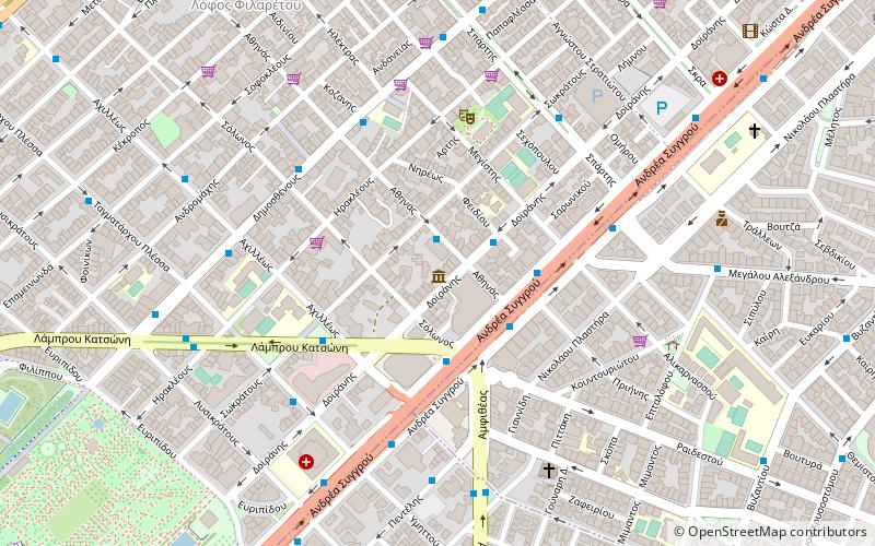
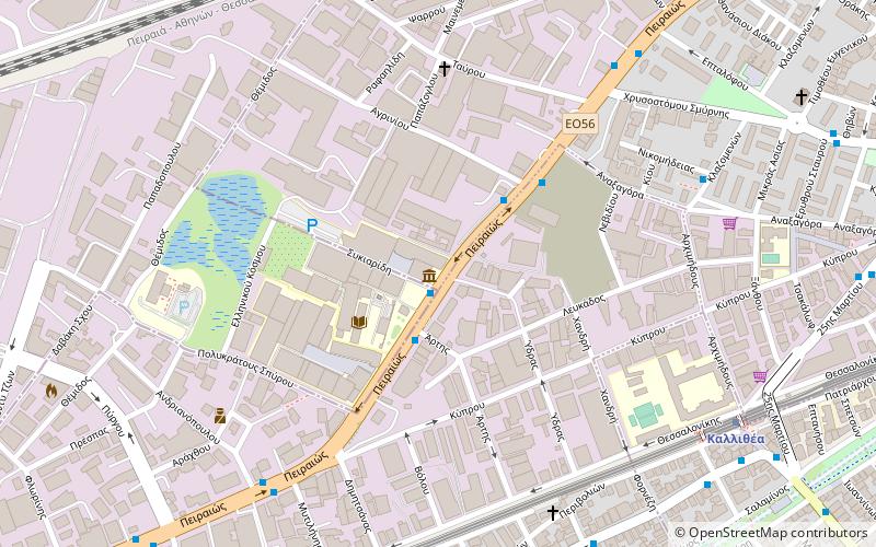
Nearby attractions include: Karaiskakis Stadium, Nea Smyrni Stadium, Evgenidio Foundation, Stavros Niarchos Foundation Cultural Center.


Frequently Asked Questions (FAQ)
Which popular attractions are close to Municipal Stadium of Moschato?
Nearby attractions include Peiraios Street, Athens (8 min walk), Hellenic Cosmos, Athens (17 min walk), Kallithea, Athens (19 min walk), Tactual Museum of Athens, Athens (24 min walk).
How to get to Municipal Stadium of Moschato by public transport?
The nearest stations to Municipal Stadium of Moschato:
Bus
Trolleybus
Metro
Tram
Train
Bus
- Γηπεδο • Lines: 218, 500 (2 min walk)
- Κεφαλληνιασ • Lines: 218, 500 (3 min walk)
Trolleybus
- Οαεδ • Lines: 1 (5 min walk)
- Δημαρχειο • Lines: 1 (7 min walk)
Metro
- Moschato • Lines: Μ1 (9 min walk)
- Kallithea • Lines: Μ1 (19 min walk)
Tram
- Καλλιθέα (20 min walk)
- Μοσχάτο (21 min walk)
Train
- Tavros (29 min walk)
- Rentis (30 min walk)