Upper Town, Thessaloniki
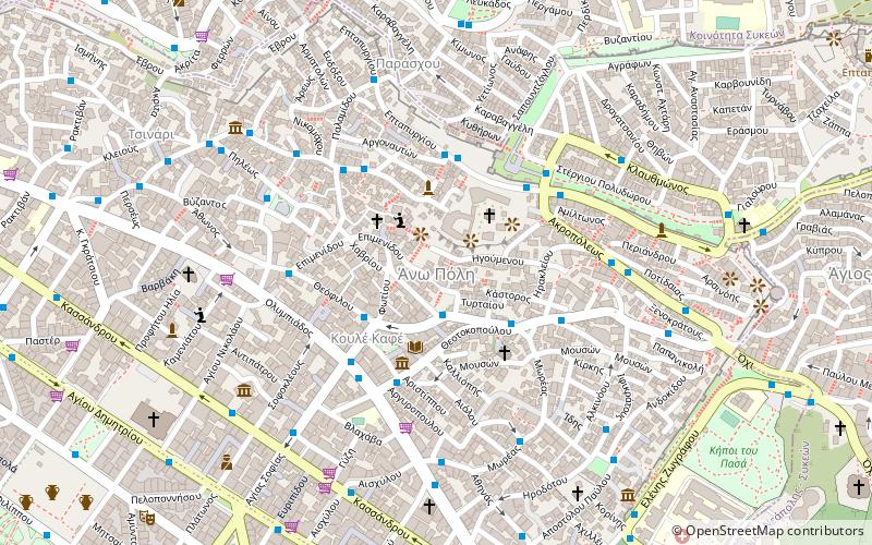
Map
Facts and practical information
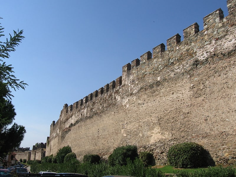
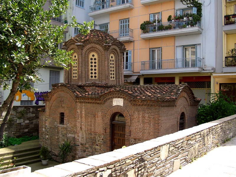
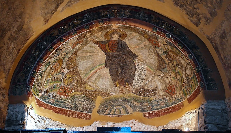
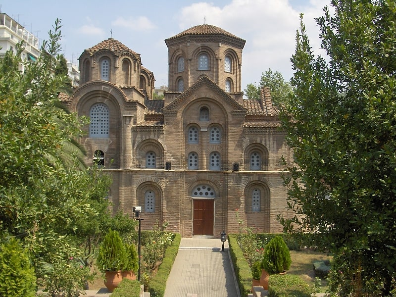
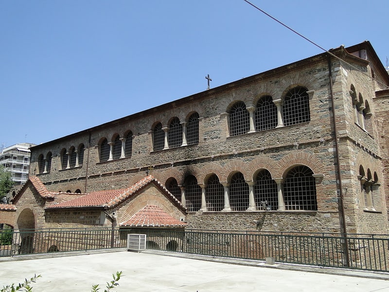
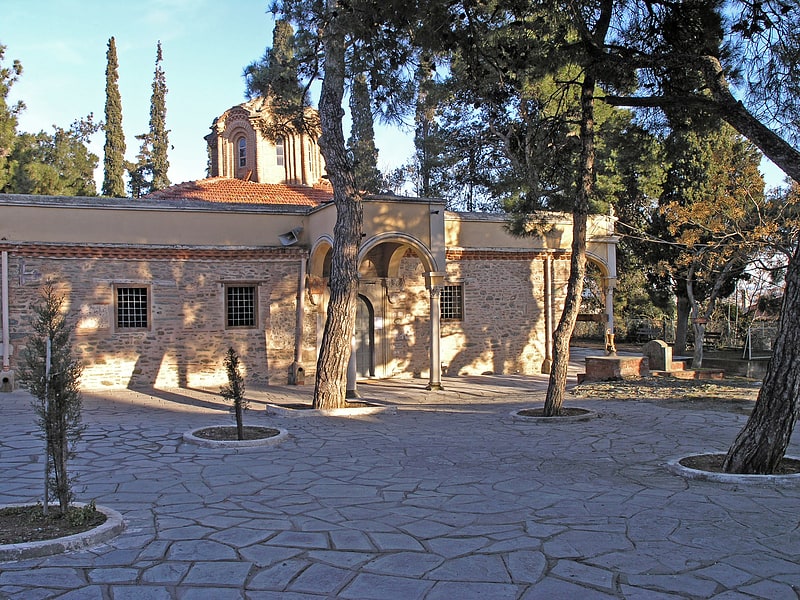
Thessaloniki's Upper Town called Ano Poli is the old town of Thessaloniki and is located around the city's acropolis north of the city center. The neighborhood is known for its well preserved Byzantine and Ottoman era structures and urban design and as a center for Thessaloniki's poets, intellectuals, and bohemians. ()
Coordinates: 40°38'28"N, 22°57'12"E
Address
Θεσσαλονίκη (Ana Πόλις)Thessaloniki
ContactAdd
Social media
Add
Getting there by public transportation
Public transportation stops near this location
- Metro
- Bus
- Ferry
 Metro
Metro
- Calculate routeΙδρυμα 2 min walk
- Calculate routeΚουλε Καφε 3 min walk
- Calculate routeΤαξιαρχων 3 min walk
- Calculate routeΠλατανοσ 4 min walk
- Calculate routeΑγίας Σοφίας 15 min walk
- Calculate routeΒενιζέλου 17 min walk
- Calculate routeΣιντριβάνι 18 min walk
- Calculate routeΔημοκρατίας 26 min walk
- Calculate routeThessaloniki 30 min walk
Day trips


Frequently Asked Questions (FAQ)
Which popular attractions are close to Upper Town?
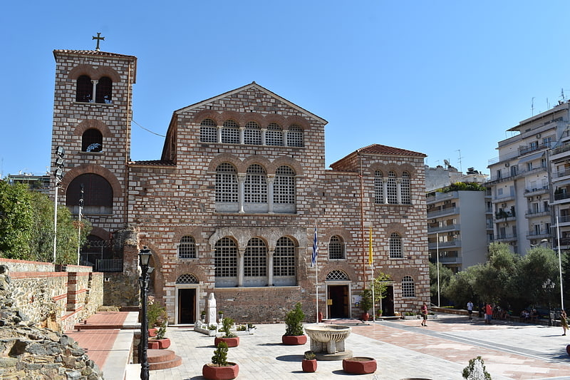
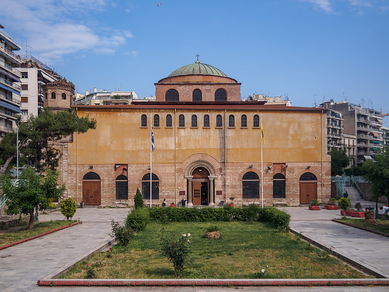
Nearby attractions include Byzantine Bath, Thessaloniki (2 min walk), Vlatades Monastery, Thessaloniki (3 min walk), Church of Hosios David, Thessaloniki (3 min walk), Alaca Imaret Mosque, Thessaloniki (7 min walk).
How to get to Upper Town by public transport?
The nearest stations to Upper Town:
Bus
Metro
Ferry
Bus
- Ιδρυμα • Lines: 23 (2 min walk)
- Κουλε Καφε • Lines: 23 (3 min walk)
Metro
- Αγίας Σοφίας • Lines: Βασική Γραμμή Μετρό, Γραμμή Μετρό Καλαμαριάς (15 min walk)
- Βενιζέλου • Lines: Βασική Γραμμή Μετρό, Γραμμή Μετρό Καλαμαριάς (17 min walk)
Ferry
- Thessaloniki (30 min walk)