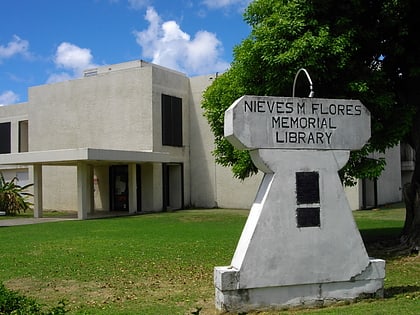
Fort Santa Agueda, Hagåtña
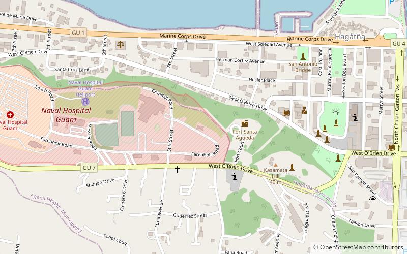
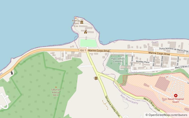
Map
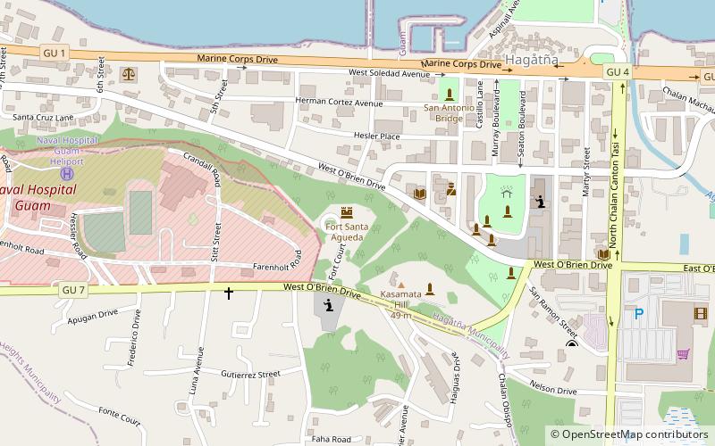
Map

Facts and practical information
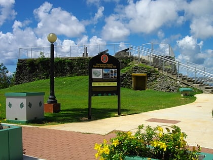
Fort Santa Agueda, on Guam Highway 7 in Hagåtña, Guam, dates from about 1800, during the 1784-1802 administration of Spanish governor Manuel Moro. It was an uncovered fort with a manposteria parapet, rising about 10 feet above a sloping hillside. It is listed on the U.S. National Register of Historic Places, as the only remaining fortification of the Spanish Era in Hagåtña. ()
Coordinates: 13°28'25"N, 144°44'53"E
Day trips
Fort Santa Agueda – popular in the area (distance from the attraction)
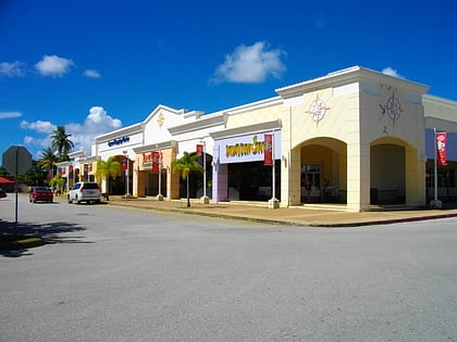
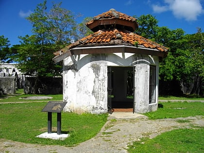
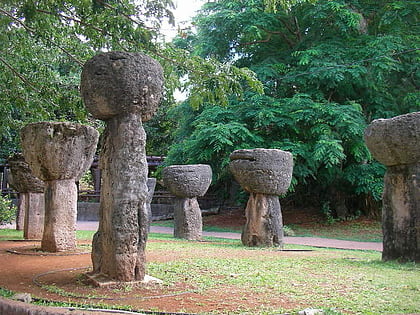
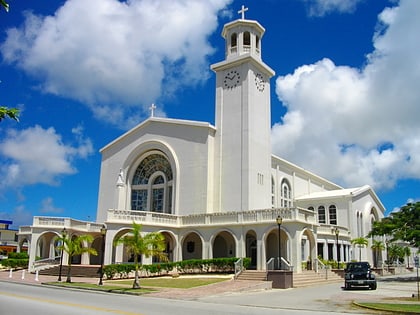
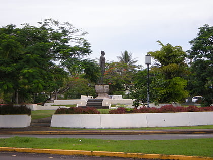
Nearby attractions include: Agana Shopping Center, Plaza de España, Latte Stone Park, Dulce Nombre de Maria Cathedral Basilica.
Frequently Asked Questions (FAQ)
Which popular attractions are close to Fort Santa Agueda?
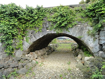
Nearby attractions include Guam Institute, Hagåtña (4 min walk), Plaza de España, Hagåtña (6 min walk), Latte Stone Park, Hagåtña (6 min walk), Agana Spanish Bridge, Hagåtña (7 min walk).
