Chief Quipuha Park, Hagåtña
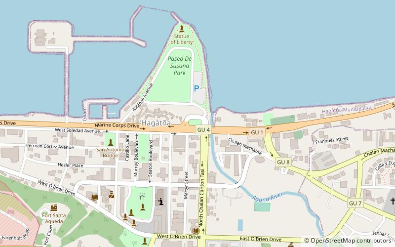
Map
Map

Facts and practical information
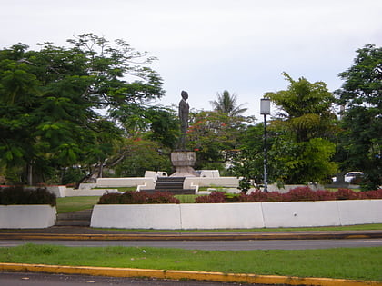
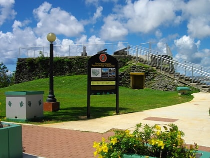
Chief Quipuha Park is located on the Paseo de Susana peninsula, in the north of the city of Hagåtña, in the United States territory of Guam. Like the rest of the peninsula, the area was created after World War II from bulldozed debris from the ruined city. It is named for Kepuha, the chief who gave land to Diego Luis de San Vitores for the first European settlement on the island at Hagåtña. ()
Elevation: 16 ft a.s.l.Coordinates: 13°28'38"N, 144°45'14"E
Address
Hagåtña
ContactAdd
Social media
Add
Day trips
Chief Quipuha Park – popular in the area (distance from the attraction)
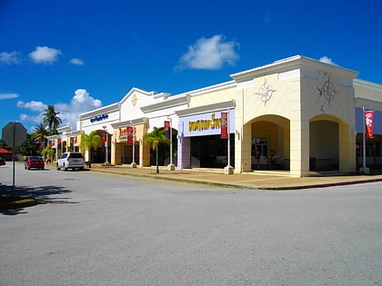
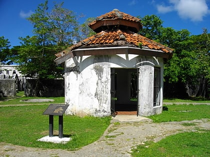
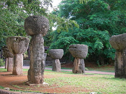
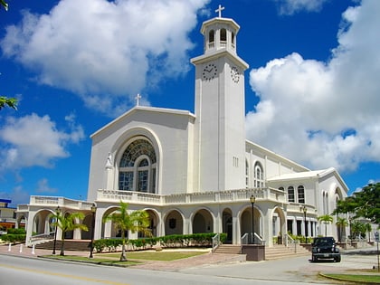
Nearby attractions include: Agana Shopping Center, Plaza de España, Latte Stone Park, Dulce Nombre de Maria Cathedral Basilica.
Frequently Asked Questions (FAQ)
Which popular attractions are close to Chief Quipuha Park?
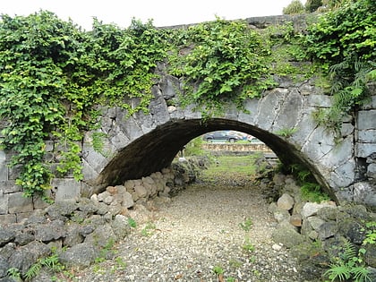
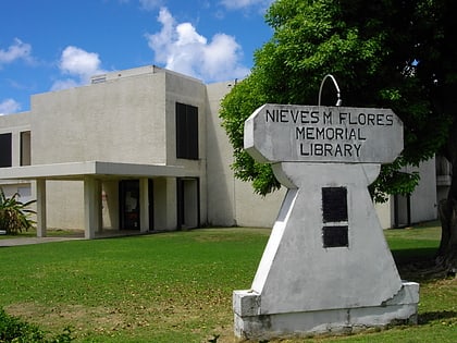
Nearby attractions include Guam Public Library System, Hagåtña (3 min walk), Paseo De Susana Park, Hagåtña (5 min walk), Agana Spanish Bridge, Hagåtña (7 min walk), Dulce Nombre de Maria Cathedral Basilica, Hagåtña (8 min walk).
