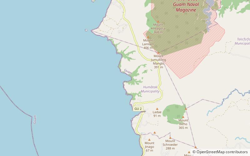
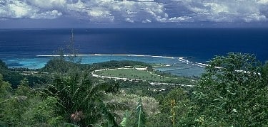
Cetti Bay
#6 among destinations in Guam

Facts and practical information
Cetti Bay is an oceanic bay and historic site near Umatac, Guam, that is listed on the National Register of Historic Places. ()
UmatacGuam
Cetti Bay plan & book
Unleash the traveler in you — discover the cheapest flight deals, find the perfect hotel or hostel nearby, and search for the best car rental prices. Travel at your own pace to discover new places and enjoy your journey.
Cetti Bay – popular in the area (distance from the attraction)
Nearby attractions include: War in the Pacific National Historical Park, Church of San Dionisio, Taleyfac Spanish Bridge, Fort Soledad.
 Museum, Military museum
War in the Pacific National Historical Park
36 min walk • The War in the Pacific National Historical Park is a multi-unit protected area in the United States territory of Guam, which was established in 1978 in honor of those who participated in the Pacific Theater of World War II.
 Church
Church of San Dionisio
32 min walk • The San Dionisio Church Ruins are a historic ruins on Route 2 in Umatac, Guam. They are the remains of a church that was built in 1862 and destroyed by an earthquake in 1892. It was built out of manposteria, and the surviving elements including buttresses rising to a height of 13 feet.
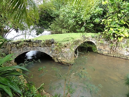 Bridge
Taleyfac Spanish Bridge, Hågat, Guam
84 min walk • The Taleyfac Spanish Bridge, known locally as Taleyfac Tolai Acho, is a historic stone arch bridge off Guam Highway 2 in Agat, Guam. It crosses the Taleyfac River with two stone arches; it is 36-foot long and 15-foot wide. It originally had wood timber flooring, which has long ago been replaced.
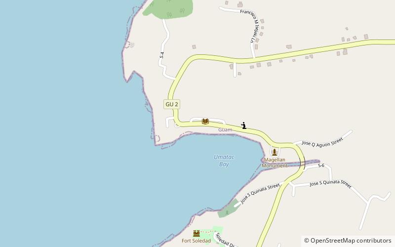
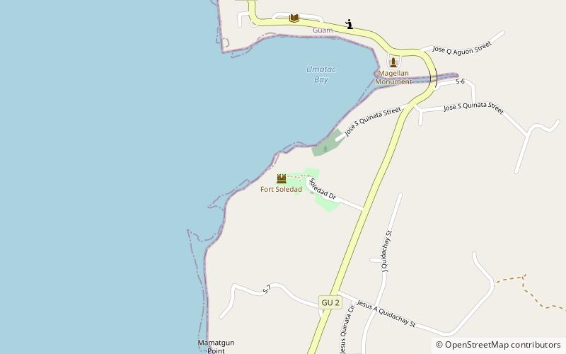 Historical place, View point, Forts and castles
Fort Soledad
39 min walk • Fuerte Nuestra Señora de la Soledad or Fort Soledad is a fort in Umatac, Guam built by the Spanish in 1810 and named for Our Lady of Solitude. It is the last of the four forts build around Umatac Bay. It is now a park.
 Tower
TowerMerizo Bell Tower
92 min walk • The Merizo Bell Tower, on Guam Highway 4 in Merizo, Guam, is a bell tower that was built in 1914 or 1919. It was listed on the U.S. National Register of Historic Places in 1975.
 Nature, Natural attraction, Mountain
Mount Alifan
117 min walk • Mount Alifan is a peak on the U.S. island territory of Guam. It is located in Agat on the south-west of the island. Alifan is the highest point overseeing Agat Bay and was the site of fierce fighting during the 1944 U.S. invasion of Guam after four years of Japanese occupation.
 Forts and castles
Fort Nuestra Señora de la Soledad
41 min walk • Fort Nuestra Señora de la Soledad is a fortification near Umatac, Guam. Built by the Spanish probably between 1802 and 1819, it was the fourth of four fortifications that protected an anchorage for galleons transiting between Acapulco, Mexico and the Philippines, a route that fell out of use in 1815 with Mexican independence.
 Park
ParkGa'an Point, Hågat, Guam
125 min walk • The War in the Pacific National Historical Park is a multi-unit protected area in the United States territory of Guam, which was established in 1978 in honor of those who participated in the Pacific Theater of World War II.
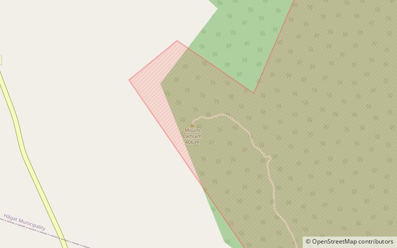 Guam's highest peak, with a summit trail
Mount Lamlam, Hågat, Guam
45 min walk • Mount Lamlam is a peak on the United States island of Guam. It is located near the village of Agat, in the south-west of the island.
 Library
Umatac Outdoor Library
31 min walk • The Umatac Outdoor Library, located on Guam Highway 4 in Umatac, Guam, was built in 1933 by Francisco Quinata Sanchez and Umatac villagers. It was listed on the National Register of Historic Places in 1999.
 Park
ParkNamo Falls
136 min walk • The Namo Falls are two waterfalls, the Grandmother and the Grandfather, in the Namo River within the Namo park area on the island of Guam.


