Laguna de Calderas, Pacaya Volcano

Map
Facts and practical information
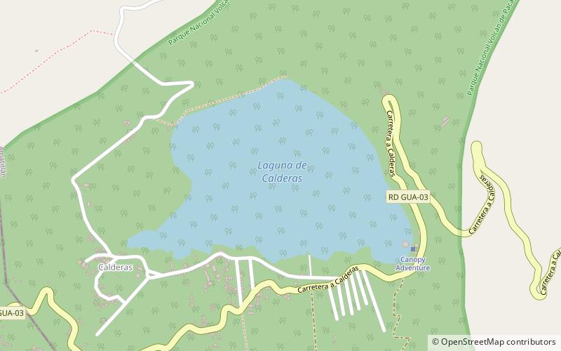
Laguna de Calderas is a crater lake in the municipality of Amatitlán, Guatemala, Guatemala. It is located approximately 6 km south of Lake Amatitlán and 3 km north of the currently active vent of the Pacaya volcano. The lake has a surface area of 11 ha and is situated at an altitude of 1778 m. ()
Address
Pacaya Volcano
ContactAdd
Social media
Add
Day trips
Laguna de Calderas – popular in the area (distance from the attraction)
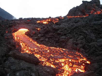
Nearby attractions include: Volcán Pacaya, San Vicente Pacaya, Lake Amatitlán, Villa Canales.


