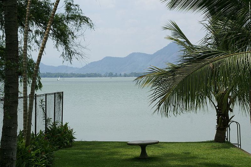
Lake Amatitlán, Amatitlán
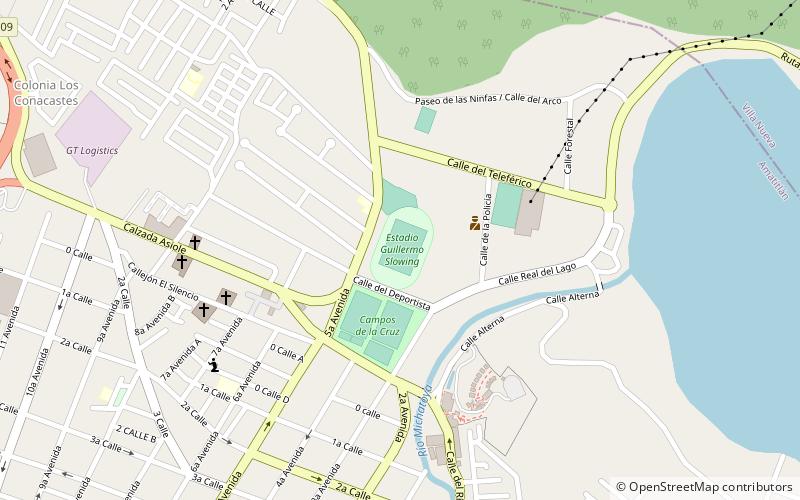
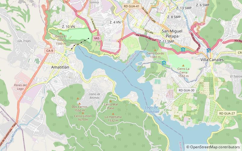
Map
Gallery
Facts and practical information
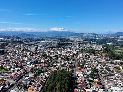
Lake Amatitlán is a lake located within the Amatitlán caldera in south-central Guatemala, fairly close to Guatemala City. It lies in the central highlands, 1,186 m above sea level. Its maximum depth is 33 m and an average of 18 m. The lake is 11 km long and 3 km wide; with an area of 15.2 square kilometers and a water volume of 0.286 cubic kilometers. ()
Local name: Lago Amatitlán Area: 50.23 mi²Length: 6.84 miWidth: 9843 ftMaximum depth: 108 ftElevation: 3911 ft a.s.l.Coordinates: 14°28'29"N, 90°35'6"W
Address
Amatitlán
ContactAdd
Social media
Add
Day trips
Lake Amatitlán – popular in the area (distance from the attraction)
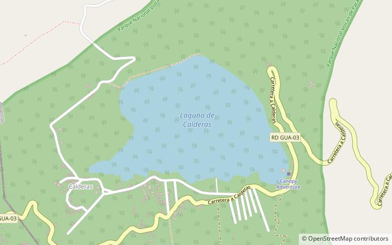
Nearby attractions include: San Miguel Petapa, Villa Nueva, San Vicente Pacaya, Laguna de Calderas.

