Villa Canales, Guatemala City

Gallery (1)
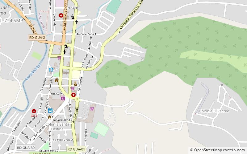
Map
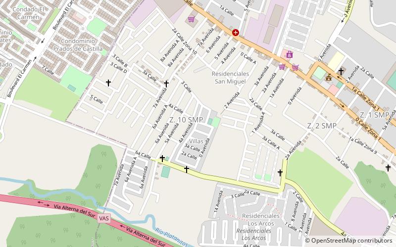
Map
Facts and practical information
Villa Canales is a city and municipality in the Guatemala department of Guatemala, situated 22 km south of the capital Guatemala City. As of the 2018 census, the city had a population of 124,680, making it the eleventh largest city in Guatemala. ()
Address
Guatemala City
ContactAdd
Social media
Add
Getting there by public transportation
Public transportation stops near this location
- Bus
 Bus
Bus
- Calculate routeTerminal de Buses 10 min walk
Day trips


Frequently Asked Questions (FAQ)
How to get to Villa Canales by public transport?
The nearest stations to Villa Canales:
Bus
Bus
- Terminal de Buses (10 min walk)