Naciones Unidas National Park
Map

Map

Facts and practical information
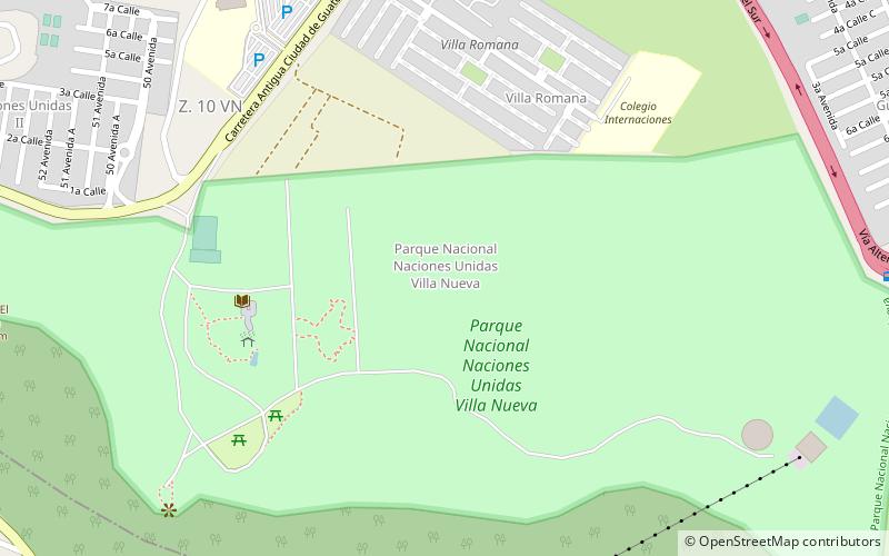
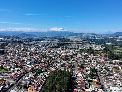
Naciones Unidas National Park is a forested park area of 4.91 km2, located 21 km south of Guatemala City, just north of Lake Amatitlán in the municipality of Villa Nueva. It is one of the last remaining nature reserves in the Guatemala City Metropolitan Area. ()
Local name: Parque nacional Naciones Unidas Elevation: 4793 ft a.s.l.Coordinates: 14°29'54"N, 90°36'37"W
Location
Guatemala
ContactAdd
Social media
Add
Day trips
Naciones Unidas National Park – popular in the area (distance from the attraction)
Nearby attractions include: San Miguel Petapa, Villa Nueva, Lake Amatitlán, Villa Canales.


