Salcajá, Quetzaltenango
#8 among attractions in Quetzaltenango


Facts and practical information
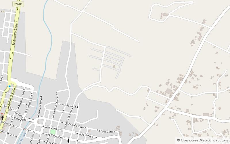
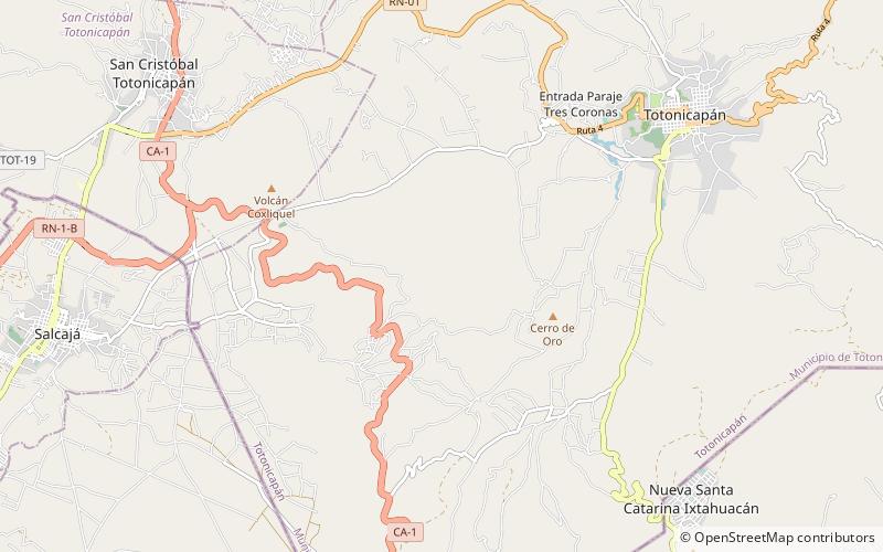
Salcajá is a town and municipality in Quetzaltenango department of Guatemala. ()
Salcajá – popular in the area (distance from the attraction)
Nearby attractions include: Holy Spirit Cathedral, Teatro Roma, Chapel of San Jacinto, Almolonga.
 Church
Holy Spirit Cathedral, Quetzaltenango
145 min walk • The Holy Spirit Cathedral also called Quetzaltenango Cathedral, is a Catholic church in Quetzaltenango, Guatemala. It was founded by the conquistadors, shortly after having defeated the legendary local hero Tecun Uman.
 Concerts and shows, Theater
Teatro Roma, Quetzaltenango
142 min walk • The Quetzaltenango Municipal Theatre, known as the Teatro Municipal is a theatre in Quetzaltenango, Guatemala. The historical building still hosts theatrical presentations and is also noted for its jazz performances which attract many visitors to the theatre.
 Church
Chapel of San Jacinto, Quetzaltenango
17 min walk • The Chapel of San Jacinto is a Roman Catholic chapel located in the town of Salcajá, Guatemala. It is said to have been founded by the Franciscans in 1524, the same year the Maya K'iche' kingdom was conquered by the Spanish conquistadores, and is claimed to be the first church built in Central America.
 Area
AreaAlmolonga, Quetzaltenango
143 min walk • Almolonga is a town, with a population of 12,299, and a municipality in the Quetzaltenango Department of Guatemala, located on the road between Ciudad de Quetzaltenango and Zunil.
 Area
AreaCantel, Quetzaltenango
127 min walk • Cantel is a municipality in the Quetzaltenango Department in Guatemala. It is located east of the city of Quetzaltenango and has an area of 52.6 km². The town of Cantel, with a population of 35,825, is situated at an altitude of 2,370 metres. Cantel includes the small Maya archaeological sites of Chojolom and Cerro Quiac.
 Area
AreaSan Andrés Xecul, Quetzaltenango
64 min walk • San Andrés Xecul is a town, with a population of 15,074, and a municipality in the Totonicapán department of Guatemala.
 National park, Park, View point
Camino Parque Cerro el Baúl, Quetzaltenango
131 min walk • Cerro El Baúl, also known as El Baúl, is a forested lava dome overlooking the valley of Quetzaltenango. It is located about 3 km north of the Almolonga volcano, at the south-eastern edge of the city of Quetzaltenango in Guatemala. And is one of the city's last remaining green areas.
 Sport, Arenas and stadiums, Sport venue
Estadio Mario Camposeco, Quetzaltenango
136 min walk • The Estadio Mario Camposeco is a football stadium located in Quetzaltenango, Guatemala. It is the home of one of the most traditional clubs in Guatemala, Xelajú MC. It has a capacity of 11,220.
 Nature, Natural attraction, Mountain
Cerro de Coxóm
90 min walk • Cerro de Coxóm is a stratovolcano in Totonicapán in western Guatemala. The 3,045-metre-high volcano is located at the eastern edge of the valley of Quetzaltenango.
