Cerro de Coxóm

Map
Facts and practical information
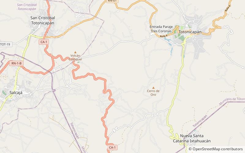
Cerro de Coxóm is a stratovolcano in Totonicapán in western Guatemala. The 3,045-metre-high volcano is located at the eastern edge of the valley of Quetzaltenango. ()
Elevation: 9990 ftCoordinates: 14°53'15"N, 91°23'52"W
Location
Totonicapán
ContactAdd
Social media
Add
Day trips
Cerro de Coxóm – popular in the area (distance from the attraction)
Nearby attractions include: Chapel of San Jacinto, Cantel, Salcajá, Totonicapán.


