Hegyvidék, Budapest
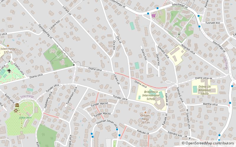
Map
Facts and practical information
Address
Hegyvidék (Orbánhegy)Budapest
ContactAdd
Social media
Add
Getting there by public transportation
Public transportation stops near this location
- Metro
- Bus
- Tram
- Train
 Metro
Metro
- Calculate routeSólyom utca 6 min walk
- Calculate routeTamási Áron utca / Thomán István utca 6 min walk
- Calculate routeNógrádi utca 7 min walk
- Calculate routePethényi út 9 min walk
- Calculate routeOrgonás 13 min walk
- Calculate routeVároskút 13 min walk
- Calculate routeEsze Tamás iskola 13 min walk
- Calculate routeSvábhegy 14 min walk
- Calculate routeDéli pályaudvar 30 min walk
- Calculate routeSzéchenyihegy 30 min walk
- Calculate routeBudapest-Déli 30 min walk
Maps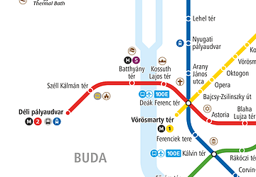 Metro
Metro
MetroDay trips


Frequently Asked Questions (FAQ)
How to get to Hegyvidék by public transport?
The nearest stations to Hegyvidék:
Bus
Tram
Metro
Train
Bus
- Sólyom utca • Lines: 110, 112 (6 min walk)
- Tamási Áron utca / Thomán István utca • Lines: 110, 112 (6 min walk)
Tram
- Orgonás • Lines: 60 (13 min walk)
- Városkút • Lines: 60 (13 min walk)
Metro
- Déli pályaudvar • Lines: M2 (30 min walk)
Train
- Széchenyihegy (30 min walk)
- Budapest-Déli (30 min walk)