Úlfljótsvatn Lake
Map
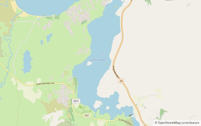
Map

Facts and practical information
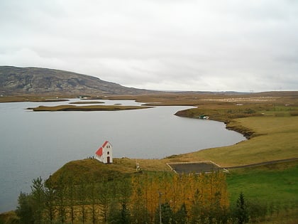
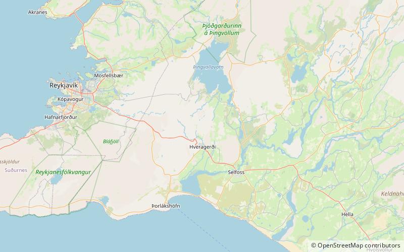
Úlfljótsvatn is a lake in southern Iceland, to the south of lake Þingvallavatn, 74km east of Reykjavík. Úlfljótsvatn is named after Úlfljótr, an important man who was involved in the Alþingi in 930. ()
Local name: Úlfljótsvatn Area: 0.95 mi²Length: 2.49 miWidth: 3937 ftMaximum depth: 113 ftElevation: 262 ft a.s.l.Coordinates: 64°6'37"N, 21°2'2"W
Location
Suðurland
ContactAdd
Social media
Add
Day trips
Úlfljótsvatn Lake – popular in the area (distance from the attraction)
Nearby attractions include: Kerið, Þingvallavatn, Grímsnes, Hrómundartindur.
