Grímsnes
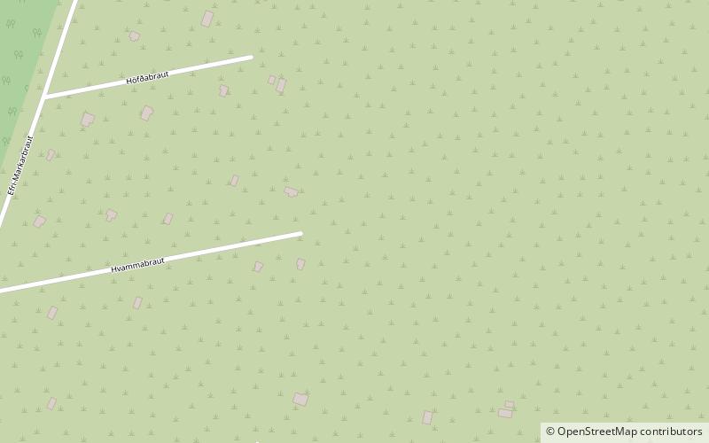
Map

Map

Facts and practical information
Grímsnes is a fissure or crater row volcanic system located in South Iceland, a relatively small volcanic system located SE of Thingvallavatn lake east of an en echelon group of volcanic fields extending across the Reykjanes Peninsula. The elevation at its apex is 214 meters. Tephrochronology approximates the volcano's last eruption as 3500 BC. ()
Location
Suðurland
ContactAdd
Social media
Add
Day trips
Grímsnes – popular in the area (distance from the attraction)
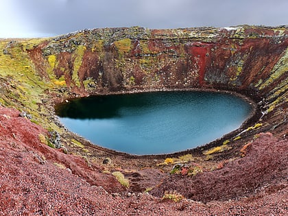
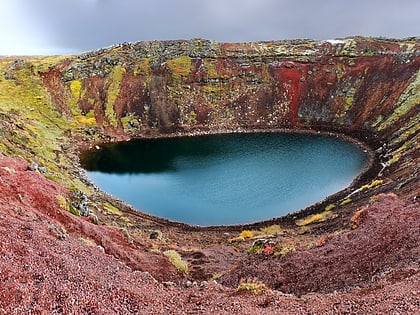
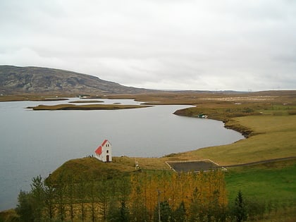
Nearby attractions include: Kerið, Úlfljótsvatn Lake.


