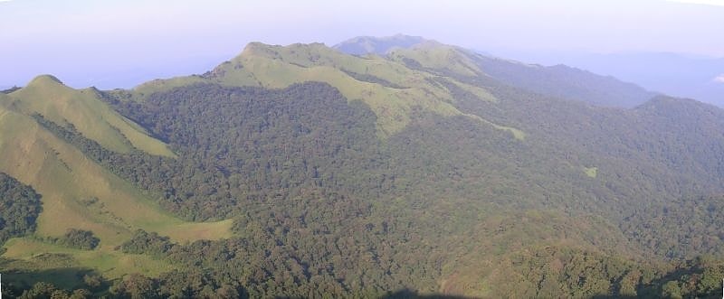
Talakaveri, Western Ghats

Gallery (1)
Map
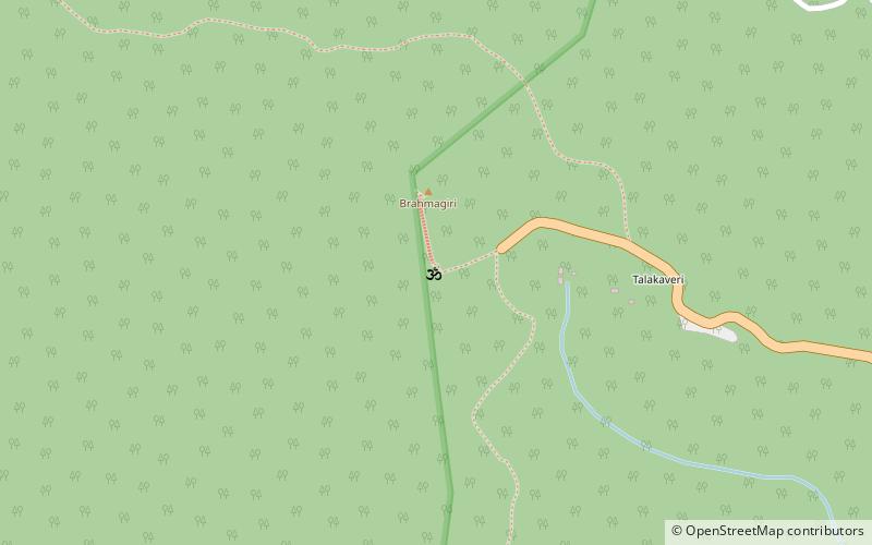
Map
Facts and practical information
Talakaveri is a place located in Western Ghats (Karnataka state) and belongs to the category of sacred and religious sites, body of water, temple.
It is situated at an altitude of 4262 feet, and its geographical coordinates are 12°23'7"N latitude and 75°29'27"E longitude.
Among other places and attractions worth visiting in the area are: Bhagamandala (temple, 81 min walk), Talakaveri Wildlife Sanctuary (natural attraction, 94 min walk).
Elevation: 4262 ft a.s.l.Coordinates: 12°23'7"N, 75°29'27"E
Address
Western Ghats
ContactAdd
Social media
Add
Day trips