Kamla Nagar, Delhi
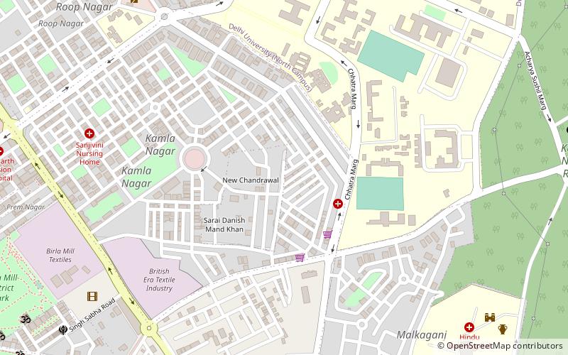
Map
Facts and practical information
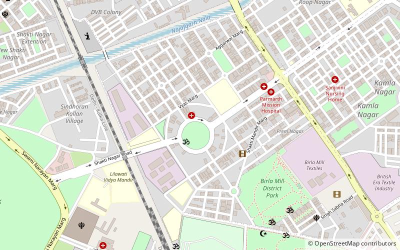
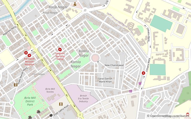
Kamla Nagar is a residential and commercial neighbourhood in North Delhi, India. It is one of Delhi's major shopping centres. ()
Local name: कमला नगर, दिल्लीCoordinates: 28°40'51"N, 77°12'14"E
Day trips
Kamla Nagar – popular in the area (distance from the attraction)
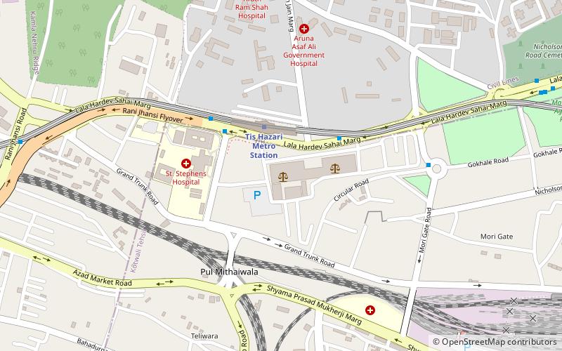
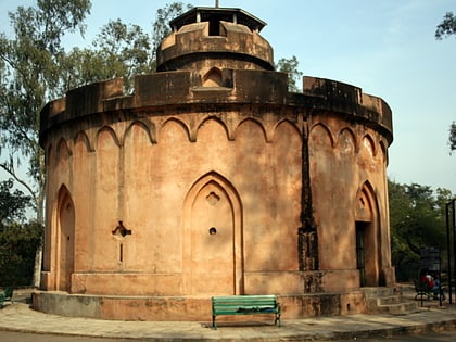
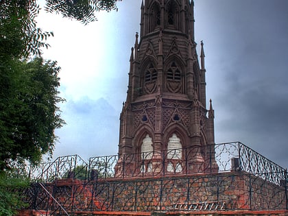
Nearby attractions include: Tis Hazari, Flagstaff Tower, Patel Chest, Mutiny Memorial.
Frequently Asked Questions (FAQ)
Which popular attractions are close to Kamla Nagar?
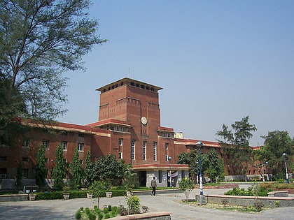
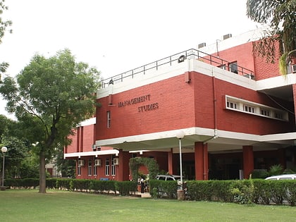
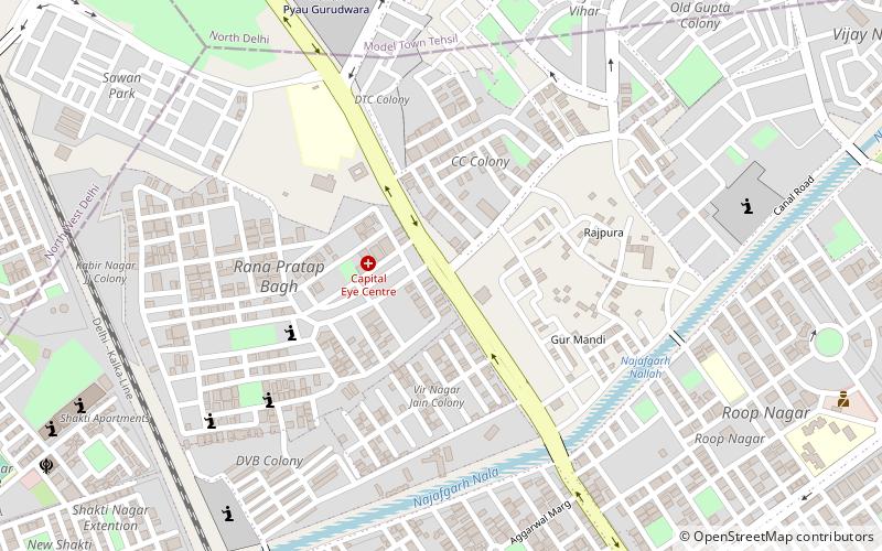
Nearby attractions include Northern Ridge biodiversity park, Delhi (5 min walk), Faculty of Management Studies – University of Delhi, Delhi (10 min walk), Shakti Nagar, Delhi (14 min walk), Roshanara Bagh, Delhi (15 min walk).
How to get to Kamla Nagar by public transport?
The nearest stations to Kamla Nagar:
Train
Metro
Bus
Train
- Subzimandi (23 min walk)
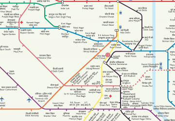
Metro
- Pul Bangash • Lines: Red Line (26 min walk)
- Pratap Nagar • Lines: Red Line (26 min walk)
Bus
- Saint Stephen's Hospital • Lines: 102, 109, 125Ext, 128, 131, 137, 141, 142, 144, 148, 194, 197, 199, 207, 208, 218, 236, 721, 805A, 905A, 906 (30 min walk)
- Delhi Vidhan Sabha • Lines: (-) Tms (30 min walk)
 Metro
Metro