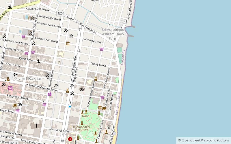
Pondicherry lighthouse, Pondicherry
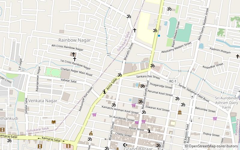
Map
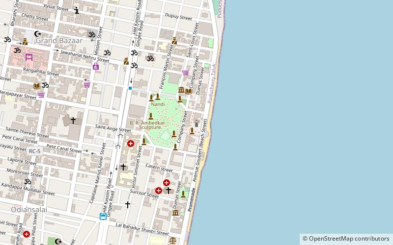
Map

Facts and practical information
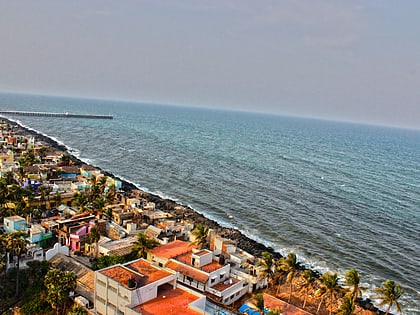
A lighthouse was constructed in Pondicherry in the nineteenth century by the French rulers. A new lighthouse was constructed in 20th century by the government of India. The old lighthouse had first beamed light on 1 September 1836. The new lighthouse started functioning in 1979. ()
Coordinates: 11°55'59"N, 79°50'8"E
Address
23, Goubert AvePondicherry 605001
Contact
+91 413 222 7750
Social media
Add
Day trips
Pondicherry lighthouse – popular in the area (distance from the attraction)
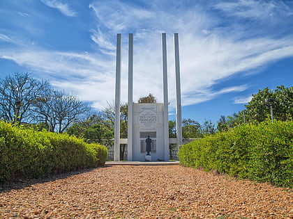
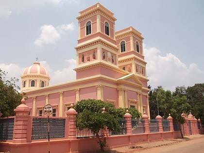
Nearby attractions include: French War Memorial, Manakula Vinayagar Temple, Immaculate Conception Cathedral, Basilica of the Sacred Heart of Jesus.
Frequently Asked Questions (FAQ)
Which popular attractions are close to Pondicherry lighthouse?
Nearby attractions include French War Memorial, Pondicherry (2 min walk), Romain Rolland Library, Pondicherry (3 min walk), Promenade Beach, Pondicherry (4 min walk), Raj Niwas, Pondicherry (4 min walk).
How to get to Pondicherry lighthouse by public transport?
The nearest stations to Pondicherry lighthouse:
Train
Bus
Train
- Puducherry (19 min walk)
Bus
- Old Bus Stand (21 min walk)
- SETC bus depot (27 min walk)

