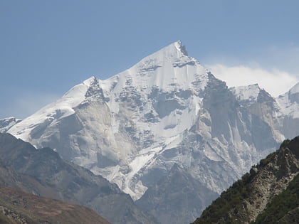
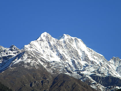
Sumeru Parbat, Kedarnath Wildlife Sanctuary
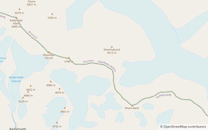
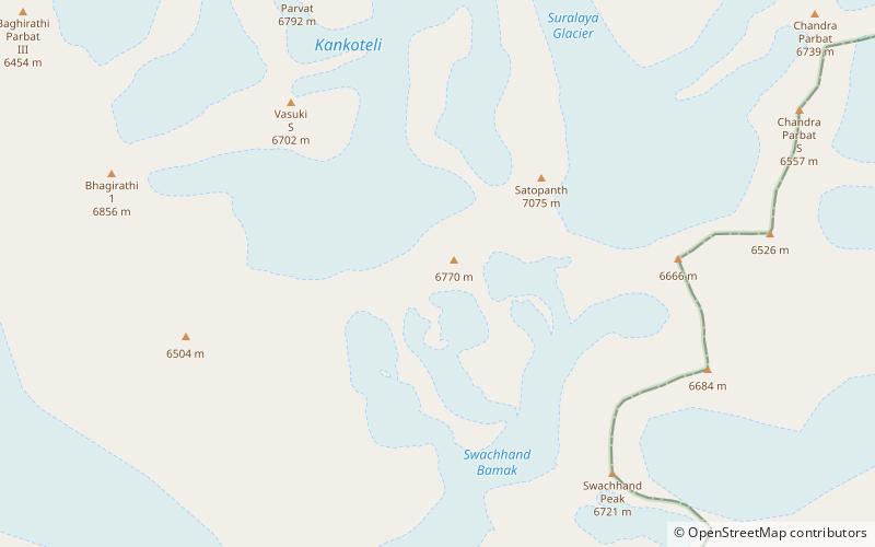
Map
Facts and practical information
Sumeru Parbat is a 6,350-metre high mountain in the Gangotri Glacier region of Garhwal Himalaya, Uttarakhand, India.The mountain is encircled by Kedarnath and Kedardome in the north, Kharchakund in the west & Mandani and Yanbuk in the south. ()
First ascent: 1971Elevation: 20833 ftCoordinates: 30°46'15"N, 79°7'27"E
Address
Kedarnath Wildlife Sanctuary
ContactAdd
Social media
Add
Day trips
Sumeru Parbat – popular in the area (distance from the attraction)
Nearby attractions include: Kedarnath Temple, Kharchakund, Bhagirathi Parbat I, Mandani Parbat.
