Gangaikonda Cholapuram
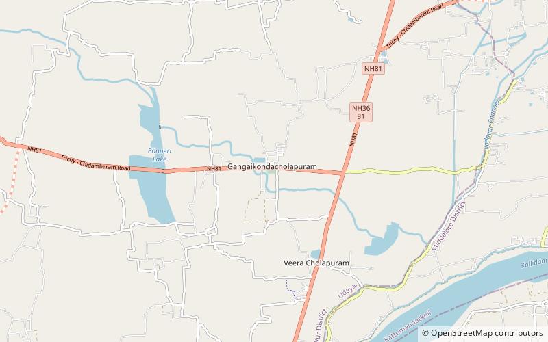
Map

Map

Facts and practical information
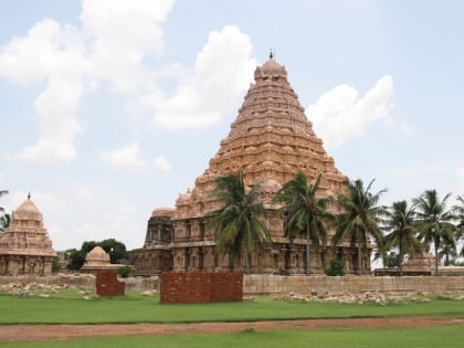
Gaṅgaikoṇḍa Chōḻapuram is a village located near to Jayankondam, Ariyalur district, Tamil Nadu, India. It became the capital of the Chola dynasty in c. 1025 by Chola emperor Rajendra I, and served as the capital for around 250 years. ()
Local name: गंगैकोण्ड चोलपुरम् Unesco: from 2004Area: 7.17 acres (0.0112 mi²)Coordinates: 11°12'23"N, 79°26'58"E
Location
Tamil Nadu
ContactAdd
Social media
Add
Day trips
Gangaikonda Cholapuram – popular in the area (distance from the attraction)
Nearby attractions include: Brihadisvara Temple.

