Church of Bom Jesus, Daman, India
Map
Facts and practical information
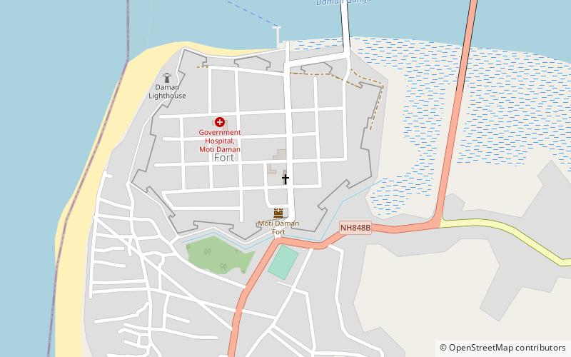
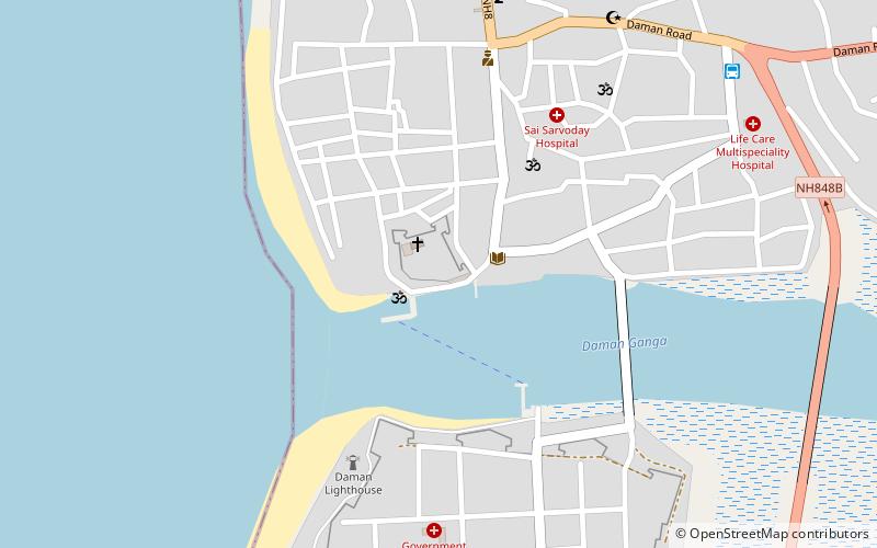
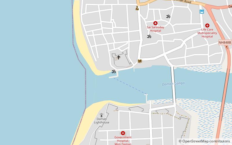
Church of Bom Jesus (address: Manguerial Rd) is a place located in Daman, India (Daman and Diu union territory) and belongs to the category of top attraction, church.
It is situated at an altitude of 52 feet, and its geographical coordinates are 20°24'24"N latitude and 72°50'3"E longitude.
Among other places and attractions worth visiting in the area are: samudra dev mandir (temple, 12 min walk), Fort Jerome (historical place, 12 min walk), Jampore Beach (beach, 53 min walk).
Coordinates: 20°24'24"N, 72°50'3"E
Address
Manguerial RdDaman, India 396220
ContactAdd
Social media
Add
Day trips


Frequently Asked Questions (FAQ)
When is Church of Bom Jesus open?
Church of Bom Jesus is open:
- Monday 7 am - 9 pm
- Tuesday 7 am - 9 pm
- Wednesday 7 am - 9 pm
- Thursday 7 am - 9 pm
- Friday 7 am - 9 pm
- Saturday 7 am - 9 pm
- Sunday 7 am - 9 pm
Which popular attractions are close to Church of Bom Jesus?
Nearby attractions include samudra dev mandir, Daman, India (12 min walk), Fort Jerome, Daman, India (12 min walk).