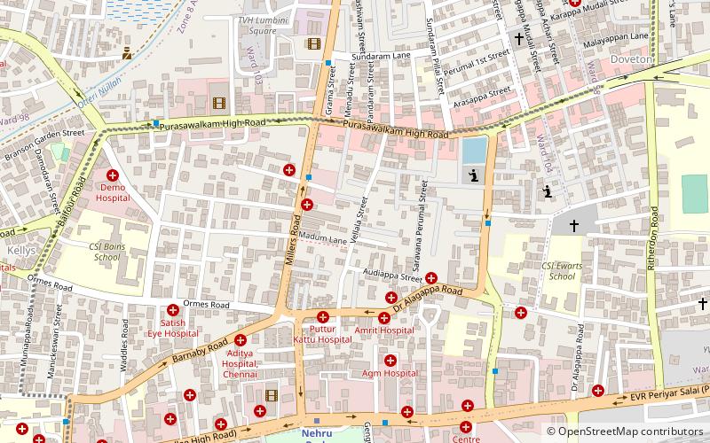
Vellala Street, Chennai
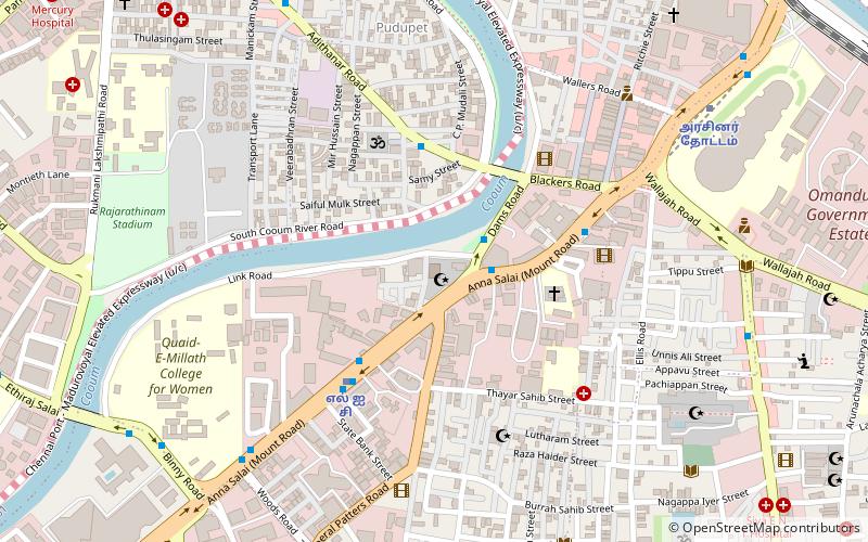
Map
Facts and practical information
Vellala street, also known as Vellalar Street, is a residential street in Purasawalkam in Chennai in the state of Tamil Nadu, India. Vellalar is supposedly a caste name crediting to the early residents who belonged to this caste. Later these distinctions vanished and led way to more diverse residents. One of the leading figures of early literature in English R. K. Narayan and his youngest brother R. K. Laxman, an Indian cartoonist, illustrator, and humorist were living at Number 1, Vellala Street. ()
Coordinates: 13°5'1"N, 80°15'5"E
Getting there by public transportation
Public transportation stops near this location
- Metro
- Bus
- Train
 Metro
Metro
- Calculate routeNehru Park 9 min walk
- Calculate routeKilpauk 19 min walk
- Calculate routeEgmore Metro 21 min walk
- Calculate routeChennai Egmore 19 min walk
- Calculate routeChennai Chetpat 23 min walk
- Calculate routeEgmore Railway Station 21 min walk
- Calculate routeCollege Road 29 min walk
- Calculate routeAyanavaram MTC Terminus 32 min walk
Day trips


Frequently Asked Questions (FAQ)
Which popular attractions are close to Vellala Street?
Nearby attractions include Purasawalkam, Chennai (5 min walk), Wesley Church, Chennai (12 min walk), Ainsley Canal, Chennai (12 min walk), Doveton, Chennai (14 min walk).
How to get to Vellala Street by public transport?
The nearest stations to Vellala Street:
Metro
Train
Bus
Metro
- Nehru Park • Lines: 2 (9 min walk)
- Kilpauk • Lines: 2 (19 min walk)
Train
- Chennai Egmore (19 min walk)
- Chennai Chetpat (23 min walk)
Bus
- Egmore Railway Station (21 min walk)
- College Road • Lines: 147C (29 min walk)