Sattal

Gallery (3)
Map
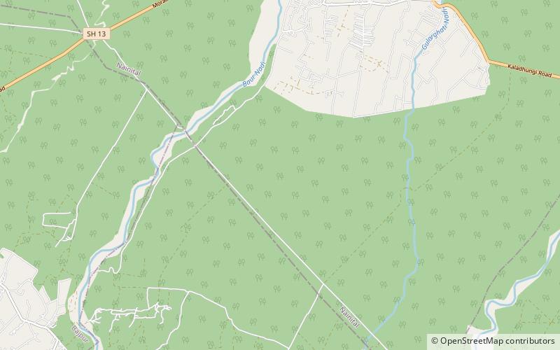
Map
Gallery
Facts and practical information
Sattal or Sat Tal is an interconnected group of seven freshwater lakes situated in the Lower Himalayan Range near Bhimtal, a town of the Nainital district in Uttarakhand, India. During the British Raj, the area had a tea plantation, one of four in the Kumaon area at that time. ()
Elevation: 991 ft a.s.l.Coordinates: 29°12'36"N, 79°19'12"E
Location
Uttarakhand
ContactAdd
Social media
Add
Day trips
Sattal – popular in the area (distance from the attraction)
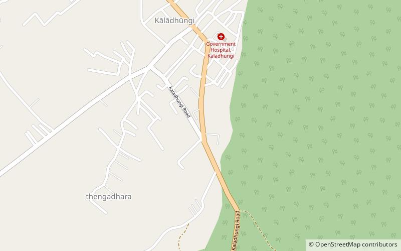
Nearby attractions include: Kaladhungi.