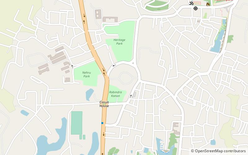
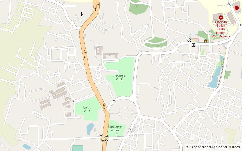
Nehru Park, Agartala
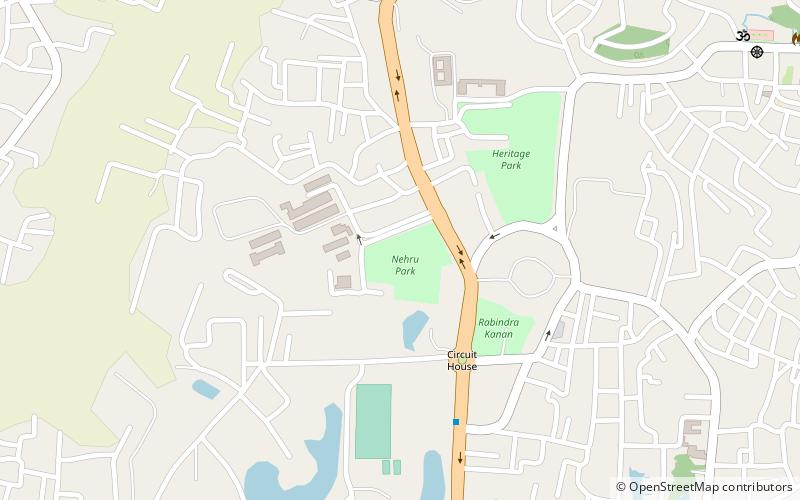
Map
Facts and practical information
Nehru Park is a place located in Agartala (Tripura state) and belongs to the category of park, relax in park.
It is situated at an altitude of 102 feet, and its geographical coordinates are 23°51'14"N latitude and 91°16'56"E longitude.
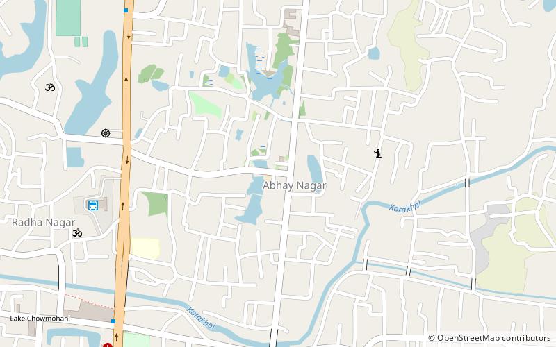
Planning a visit to this place, one can easily and conveniently get there by public transportation. Nehru Park is a short distance from the following public transport stations: Radhanagar Bus Terminus (bus, 16 min walk).
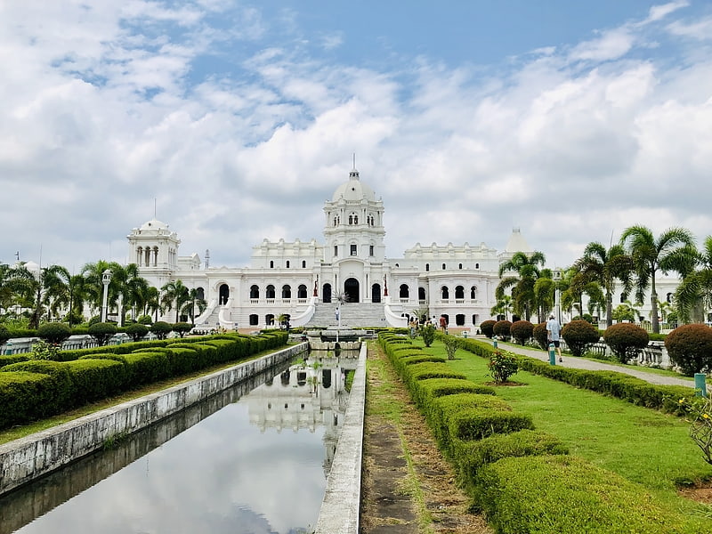
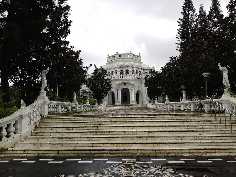
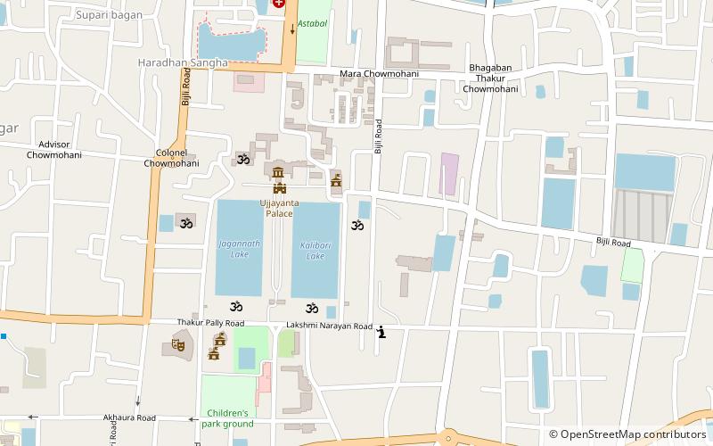
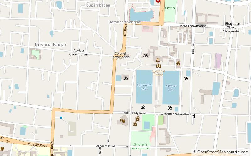
Among other places and attractions worth visiting in the area are: Pushbanta Palace (palace, 5 min walk), Raj Bhavan (palace, 5 min walk), Heritage Park (park, 6 min walk).
Elevation: 102 ft a.s.l.Coordinates: 23°51'14"N, 91°16'56"E
Address
Agartala
ContactAdd
Social media
Add
Getting there by public transportation
Public transportation stops near this location
- Bus
 Bus
Bus
- Calculate routeRadhanagar Bus Terminus 16 min walk
Day trips
Frequently Asked Questions (FAQ)
Which popular attractions are close to Nehru Park?
Nearby attractions include Pushbanta Palace, Agartala (5 min walk), Raj Bhavan, Agartala (5 min walk), Heritage Park, Agartala (6 min walk), Abhoynagar, Agartala (17 min walk).
How to get to Nehru Park by public transport?
The nearest stations to Nehru Park:
Bus
Bus
- Radhanagar Bus Terminus (16 min walk)