Garchuk Lachit Garh, Guwahati
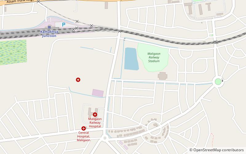
Map
Gallery
Facts and practical information
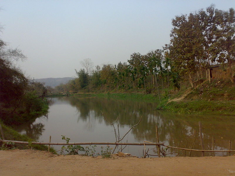
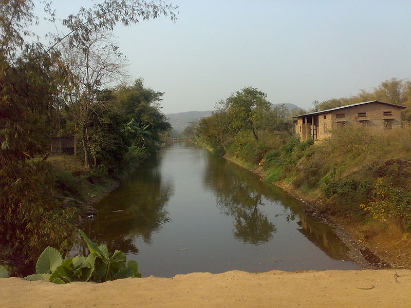
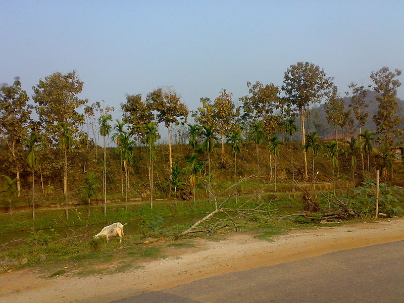
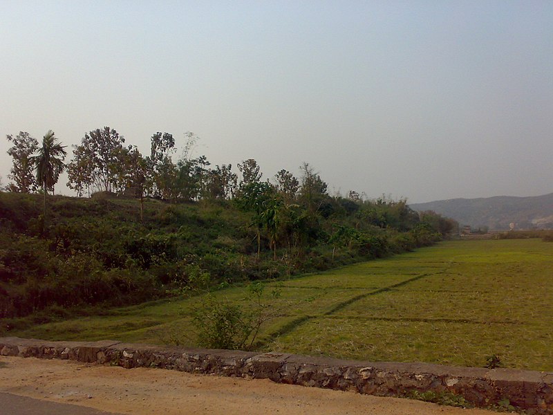
Garchuk Lachit Garh or Fort, now popularly known as Lachit Garh, is located in northeastern India in the southwestern part of Guwahati city to the west of Ahomgaon. The fort was constructed under the Ahom kingdom during the times of Lachit Borphukan around the year 1670 CE, and stretches from the northern Fatasil hills at Garchuk locality cutting across the National Highway -37 at Garchuk Charali to the southern hills via Pamahi and Moinakhurung. The length of the fortification is about 3 km. ()
Built: XVII centuryCoordinates: 26°6'20"N, 91°42'34"E
Address
Guwahati
ContactAdd
Social media
Add
Day trips
Garchuk Lachit Garh – popular in the area (distance from the attraction)
Nearby attractions include: Kamakhya Temple, Indira Gandhi Athletic Stadium, Dipor Bil, Lalganesh.
Frequently Asked Questions (FAQ)
How to get to Garchuk Lachit Garh by public transport?
The nearest stations to Garchuk Lachit Garh:
Bus
Bus
- Inter State Bus Terminal (28 min walk)


