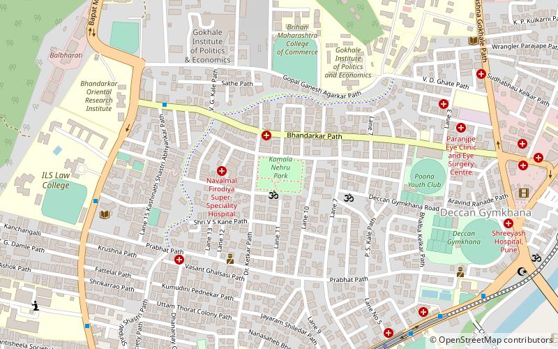
Kamala Nehru Park, Pune
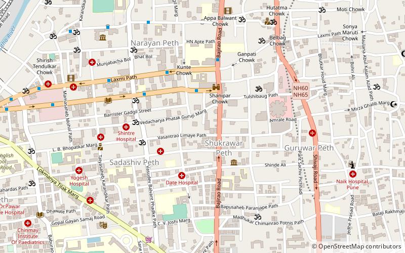
Map
Facts and practical information
Kamla Nehru Park is situated on Dr. Ketkar Road, Erandwana, Pune. The 10 acres park has a jogging track, Playground for kids, a fountain and two lawns. A military jet is also kept in one of the lawns. There are stalls of food item outside this park's main gate. The a temple of Lord Dutta next to this park. This park is couple of kilometers from Deccan Gymkhana. ()
Elevation: 1873 ft a.s.l.Coordinates: 18°31'1"N, 73°50'5"E
Address
Off Bhandarkar RdPune 411016
ContactAdd
Social media
Add
Getting there by public transportation
Public transportation stops near this location
- Bus
- Train
 Bus
Bus
- Calculate routeGarware Mahavidyalay 11 min walk
- Calculate routePetrol Pump 12 min walk
- Calculate routeDeccan Corner 13 min walk
- Calculate routeNal Stop 15 min walk
- Calculate routeShivajinagar 39 min walk
Day trips


Frequently Asked Questions (FAQ)
Which popular attractions are close to Kamala Nehru Park?
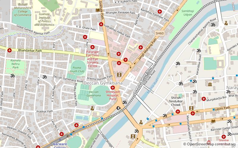
Nearby attractions include Institute of Management Development and Research, Pune (9 min walk), Vadgaon Sheri, Pune (10 min walk), Ranade Institute, Pune (11 min walk), Deccan Gymkhana, Pune (11 min walk).
How to get to Kamala Nehru Park by public transport?
The nearest stations to Kamala Nehru Park:
Bus
Train
Bus
- Garware Mahavidyalay • Lines: 283, 81, 94 (11 min walk)
- Petrol Pump • Lines: 283, 81, 94 (12 min walk)
Train
- Shivajinagar (39 min walk)