Vihar Lake, Mumbai
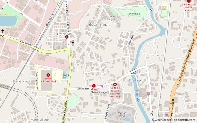
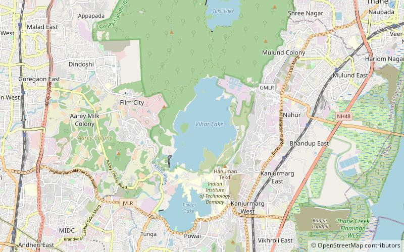
Map
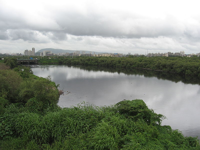
Gallery
Facts and practical information
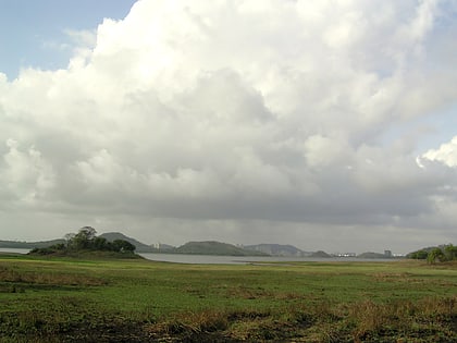
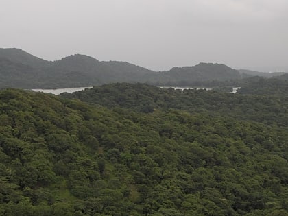
Vihar Lake is located near Vihar village on the Mithi River within the precincts of the Borivali National Park, also called the Sanjay Gandhi National Park, in North Mumbai. When built in 1860, it was considered as the largest lake in Mumbai in the Salsette group of islands. It is hemmed between the Tulsi Lake and the Powai Lake. It partly meets the drinking water needs of the Mumbai region. It supplies only 3% of the Mumbai city's water requirement, after filtration at Bhandup where the large water filtration plant is located. ()
Local name: विहार झीलBuilt: 1860 (166 years ago)Maximum depth: 112 ftElevation: 171 ft a.s.l.Coordinates: 19°9'15"N, 72°54'38"E
Address
Mulund (Vihar Lake)Mumbai
ContactAdd
Social media
Add
Day trips
Vihar Lake – popular in the area (distance from the attraction)
Nearby attractions include: Kanheri Caves, R City Mall, Mahakali Caves, Powai Lake.
